Transport Functions
Rail
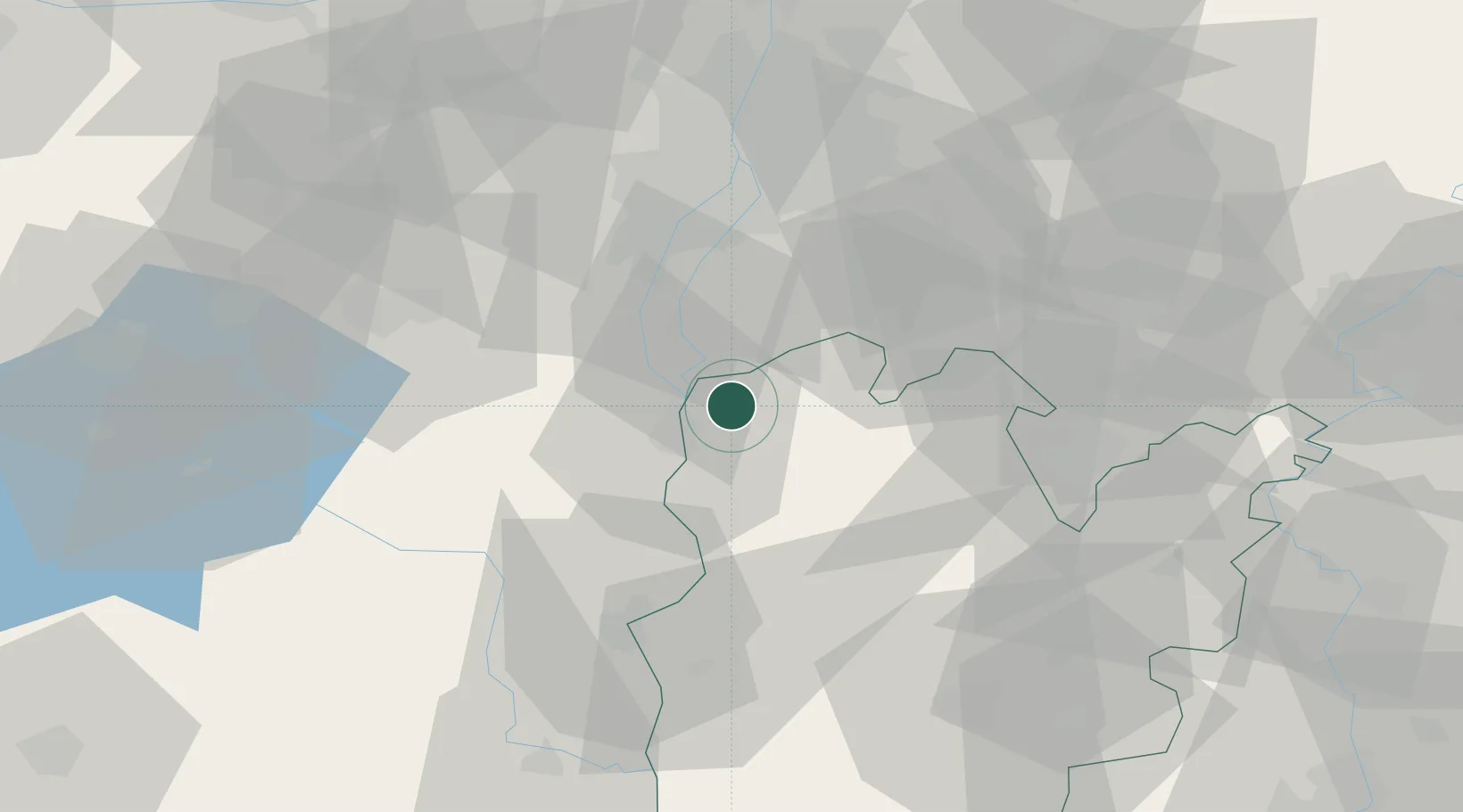
Hub Profile
Place type
Populated place
Region
Bács-Kiskun
Population
11,034
Time zone
Europe/Budapest
Elevation
132 m
Location
Nearby Logistics Neighbours
Cities
- 1Rácalmás9 km
- 2Dunaújváros11 km
- 3Kulcs11 km
- 4Dunavecse13 km
- 5Szabadszallas16 km
Ports
- 1Senj392 km
- 2Bakar397 km
- 3Omisalj400 km
- 4Rijeka Luka402 km
- 5Dugi Rat439 km
Airports
- 1Tököl Airport37 km
- 2Budapest Liszt Ferenc International Airport49 km
- 3Kalocsa-Foktő Airfield52 km
- 4Kecskemét Air Base54 km
- 5Szolnok Air Base91 km
Trade Zones
- 1Göd Special Economic Zone74 km
- 2Subotica Free Zone114 km
- 3Apatin Free Zone149 km
- 4Free Zone Curtici Arad186 km
- 5Podunavska Gospodarska Zona Vukovar186 km
DatabookThe Record of Consolidated Knowledge
Hungary beyond logistics?