UN/LOCODE hub · Hungary
HURLS

Rácalmás

47.0167°, 18.9333°
4,148
Population
1
Transport functions

Transport Functions

Multimodal
UN/LOCODE

Hub Profile

Place type
Populated place
GeoNames
Region
Fejér
GeoNames
Population
4,148
GeoNames
Time zone
Europe/Budapest
GeoNames
Elevation
140 m
GeoNames

Location

Location of HURLS
Natural Earth 10m (public domain) · Fejér · HURLS · 47.02, 18.93GoogleOSMYandex

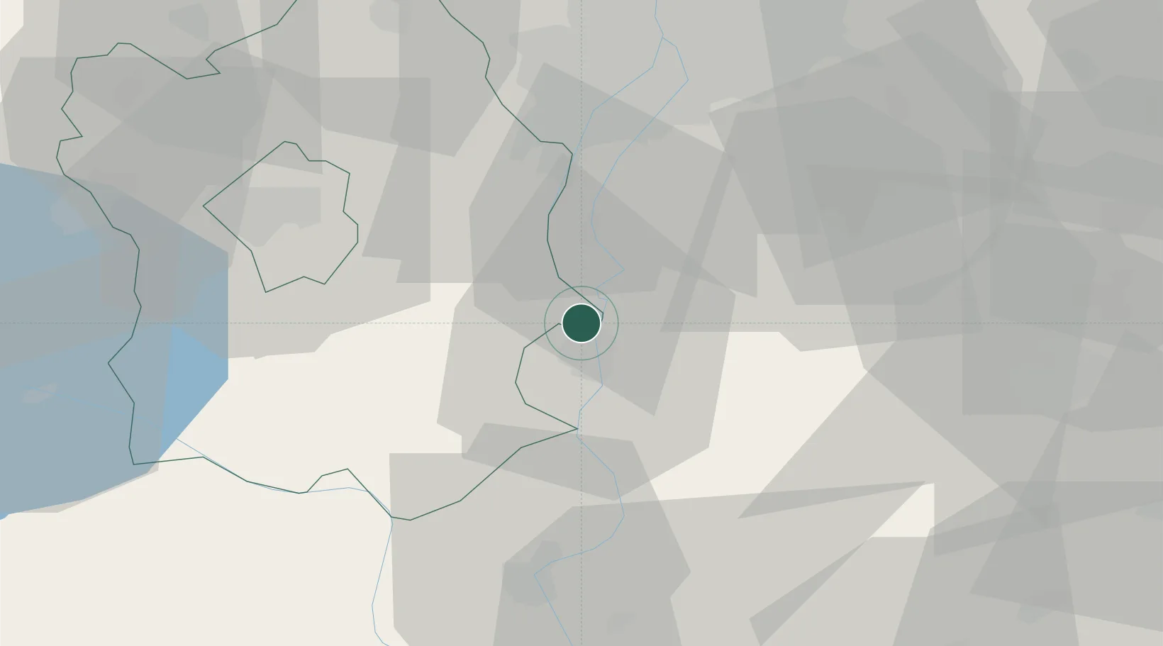
Nearby Logistics Neighbours

Cities
  1. 1Kulcs4 km
  2. 2Dunaújváros6 km
  3. 3Lajosmizse9 km
  4. 4Dunavecse11 km
  5. 5Adony12 km
Nearest neighbours — logibook spatial index (haversine) over the source coordinates
Ports
  1. 1Senj385 km
  2. 2Bakar389 km
  3. 3Omisalj393 km
  4. 4Rijeka Luka394 km
  5. 5Zadar433 km
Nearest neighbours — logibook spatial index (haversine) over the source coordinates
Airports
  1. 1Tököl Airport37 km
  2. 2Kalocsa-Foktő Airfield52 km
  3. 3Budapest Liszt Ferenc International Airport52 km
  4. 4Kecskemét Air Base63 km
  5. 5Szolnok Air Base99 km
Nearest neighbours — logibook spatial index (haversine) over the source coordinates
Trade Zones
  1. 1Göd Special Economic Zone76 km
  2. 2Subotica Free Zone117 km
  3. 3Apatin Free Zone149 km
  4. 4Podunavska Gospodarska Zona Vukovar186 km
  5. 5Osijek Free Zone192 km
Nearest neighbours — logibook spatial index (haversine) over the source coordinates
DatabookThe Record of Consolidated Knowledge
Hungary beyond logistics?
Browse databook

All Sources

LocationsUN/LOCODE
UN/LOCODE — free
LocationsGeoNames
CC BY 4.0
Portsthe NGA World Port Index
Public domain (US gov)
AirportsOurAirports
Public domain
Trade Zonesthe World Bank SEZ database
CC BY 4.0
Trade ZonesOpen Zone Map
CC BY
← Hungary locations