Transport Functions
Port
Rail
Road
Hub Profile
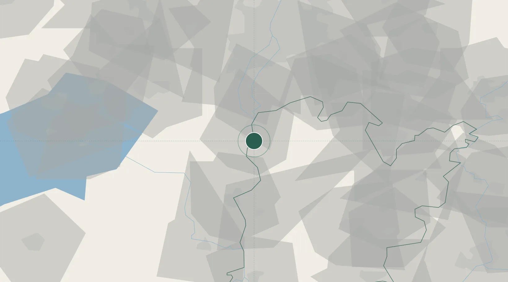
Place type
Populated place
Region
Bács-Kiskun
Population
4,201
Time zone
Europe/Budapest
Elevation
98 m
Location
Nearby Logistics Neighbours
Cities
- 1Dunaújváros6 km
- 2Rácalmás11 km
- 3Lajosmizse13 km
- 4Soskut14 km
- 5Kulcs15 km
Ports
- 1Senj381 km
- 2Bakar386 km
- 3Omisalj390 km
- 4Rijeka Luka391 km
- 5Dugi Rat426 km
Airports
- 1Kalocsa-Foktő Airfield41 km
- 2Tököl Airport48 km
- 3Kecskemét Air Base59 km
- 4Budapest Liszt Ferenc International Airport61 km
- 5Szolnok Air Base99 km
Trade Zones
- 1Göd Special Economic Zone86 km
- 2Subotica Free Zone106 km
- 3Apatin Free Zone138 km
- 4Podunavska Gospodarska Zona Vukovar175 km
- 5Osijek Free Zone182 km
DatabookThe Record of Consolidated Knowledge
Hungary beyond logistics?