Transport Functions
Port
Rail
Road
Hub Profile
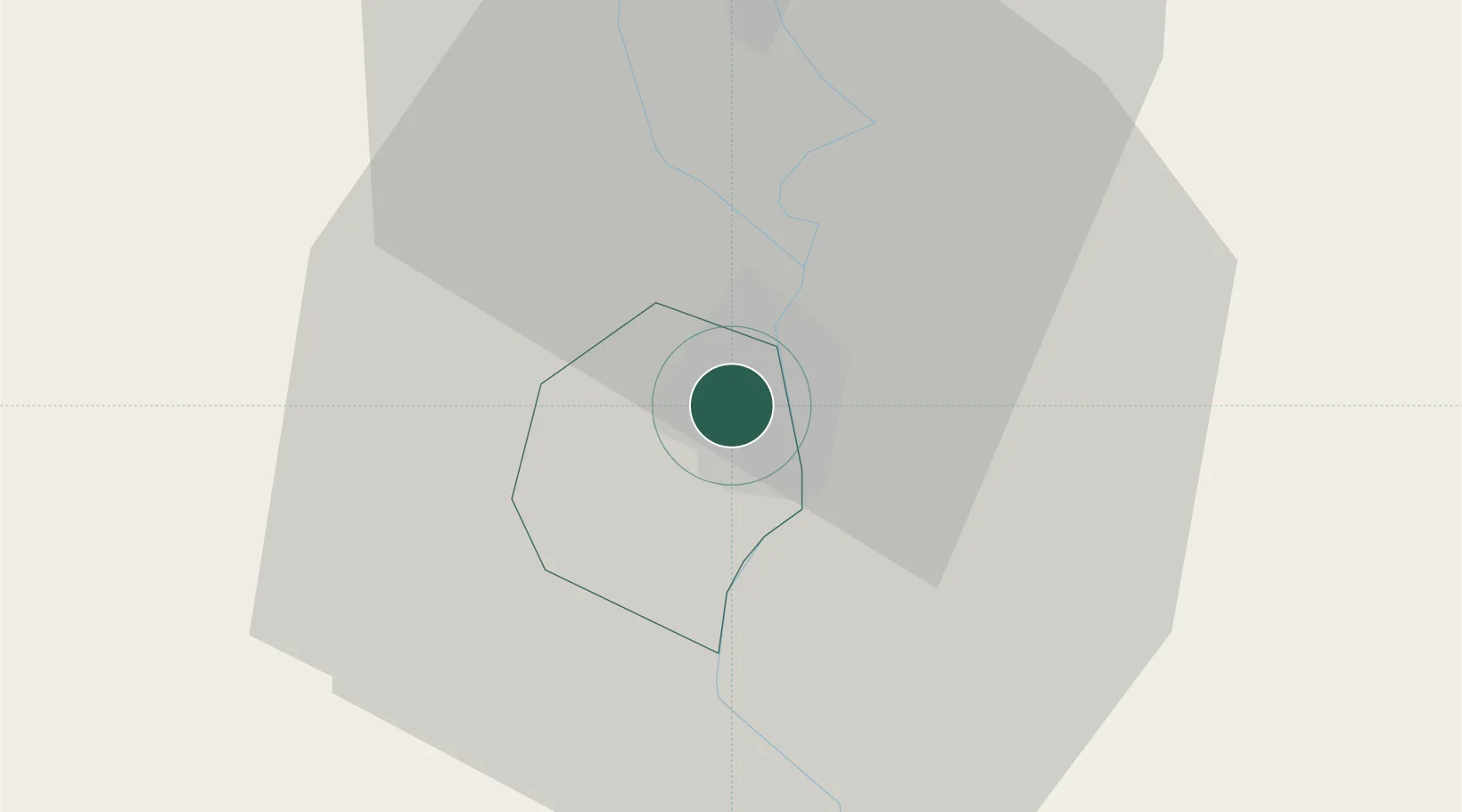
Place type
Populated place
Region
Fejér
Population
50,084
Time zone
Europe/Budapest
Elevation
146 m
Location
Nearby Logistics Neighbours
Cities
- 1Rácalmás6 km
- 2Dunavecse6 km
- 3Kulcs9 km
- 4Lajosmizse11 km
- 5Adony17 km
Ports
- 1Senj382 km
- 2Bakar386 km
- 3Omisalj390 km
- 4Rijeka Luka391 km
- 5Zadar429 km
Airports
- 1Tököl Airport42 km
- 2Kalocsa-Foktő Airfield46 km
- 3Budapest Liszt Ferenc International Airport57 km
- 4Kecskemét Air Base62 km
- 5Szolnok Air Base100 km
Trade Zones
- 1Göd Special Economic Zone81 km
- 2Subotica Free Zone113 km
- 3Apatin Free Zone143 km
- 4Podunavska Gospodarska Zona Vukovar181 km
- 5Osijek Free Zone187 km
DatabookThe Record of Consolidated Knowledge
Hungary beyond logistics?