Transport Functions
Multimodal
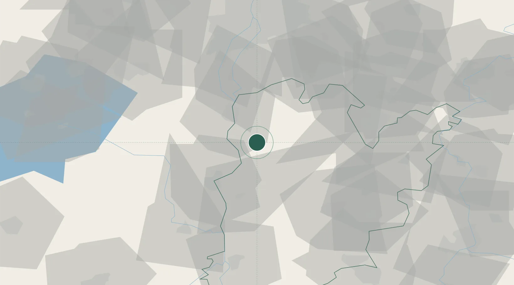
Hub Profile
Place type
Urban district
Region
Bács-Kiskun
Time zone
Europe/Budapest
Elevation
94 m
Location
Nearby Logistics Neighbours
Cities
- 1Dunavecse14 km
- 2Harta16 km
- 3Szabadszallas17 km
- 4Madocsa17 km
- 5Dunaújváros20 km
Ports
- 1Senj383 km
- 2Bakar389 km
- 3Omisalj393 km
- 4Rijeka Luka395 km
- 5Dugi Rat420 km
Airports
- 1Kalocsa-Foktő Airfield31 km
- 2Kecskemét Air Base52 km
- 3Tököl Airport59 km
- 4Budapest Liszt Ferenc International Airport70 km
- 5Szolnok Air Base94 km
Trade Zones
- 1Subotica Free Zone92 km
- 2Göd Special Economic Zone96 km
- 3Apatin Free Zone127 km
- 4Podunavska Gospodarska Zona Vukovar164 km
- 5Osijek Free Zone173 km
DatabookThe Record of Consolidated Knowledge
Hungary beyond logistics?