UN/LOCODE hub · Hungary
HUJKZ
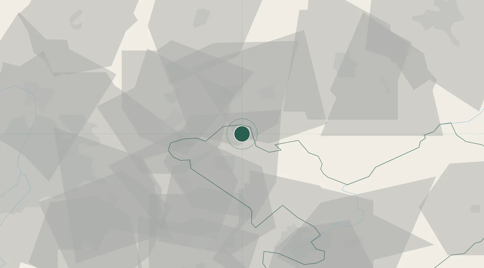
Jászárokszállás
47.6333°, 19.9667°
8,107
Population
3
Transport functions
Transport Functions
Port
Rail
Road
Hub Profile
Place type
Populated place
Region
Jász-Nagykun-Szolnok
Population
8,107
Time zone
Europe/Budapest
Elevation
101 m
Location
Nearby Logistics Neighbours
Cities
- 1Pusztamonostor16 km
- 2Gyöngyös17 km
- 3Jászberény17 km
- 4Jászfényszaru20 km
- 5Jászapáti20 km
Ports
- 1Senj488 km
- 2Bakar490 km
- 3Omisalj494 km
- 4Rijeka Luka495 km
- 5Dugi Rat532 km
Airports
- 1Budapest Liszt Ferenc International Airport58 km
- 2Szolnok Air Base60 km
- 3Tököl Airport81 km
- 4Kecskemét Air Base81 km
- 5Debrecen International Airport125 km
Trade Zones
- 1Göd Special Economic Zone60 km
- 2Free Zone Curtici Arad174 km
- 3Subotica Free Zone175 km
- 4VGP Park Arad189 km
- 5VGP Park Timisoara225 km
DatabookThe Record of Consolidated Knowledge
Hungary beyond logistics?