Transport Functions
Port
Multimodal
Hub Profile
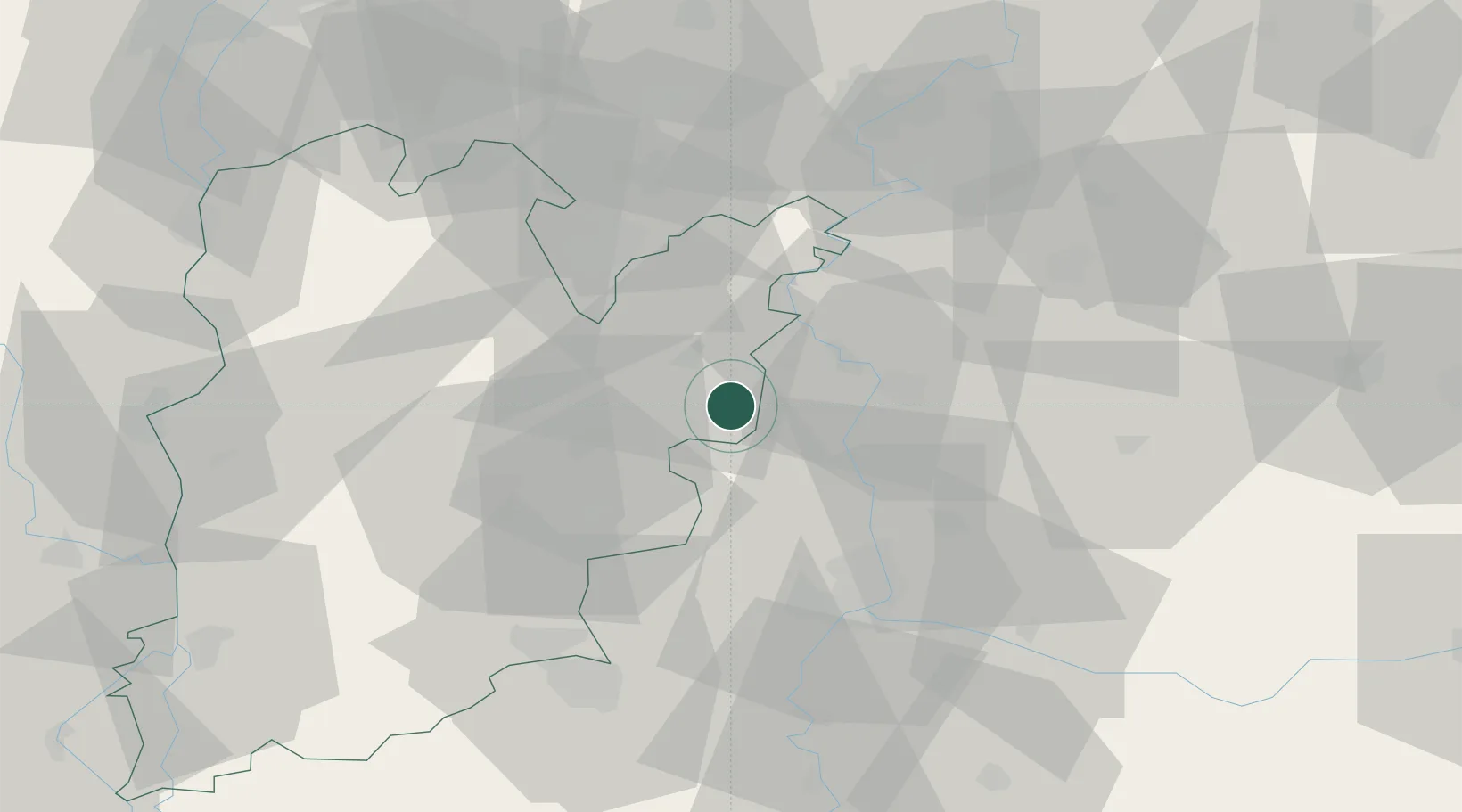
Place type
Populated place
Region
Bács-Kiskun
Population
2,052
Time zone
Europe/Budapest
Elevation
85 m
Location
Nearby Logistics Neighbours
Cities
- 1Bokros15 km
- 2Kistelek19 km
- 3Kunszallas20 km
- 4Mártély27 km
- 5Szatymaz33 km
Airports
- 1Kecskemét Air Base35 km
- 2Szolnok Air Base59 km
- 3Kalocsa-Foktő Airfield76 km
- 4Budapest Liszt Ferenc International Airport102 km
- 5Tököl Airport107 km
Trade Zones
- 1Subotica Free Zone66 km
- 2Free Zone Curtici Arad108 km
- 3VGP Park Arad112 km
- 4Apatin Free Zone130 km
- 5Göd Special Economic Zone130 km
DatabookThe Record of Consolidated Knowledge
Hungary beyond logistics?