Transport Functions
Multimodal
Hub Profile
Place type
Populated place
Region
Csongrád
Time zone
Europe/Budapest
Elevation
90 m
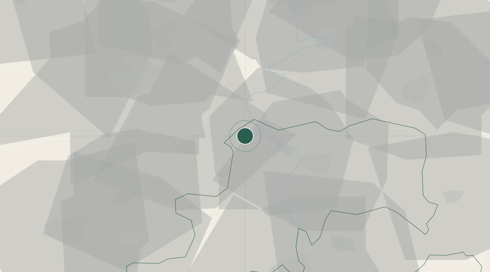
Location
Nearby Logistics Neighbours
Cities
- 1Pálmonostora15 km
- 2Tiszakécske21 km
- 3Kunszallas22 km
- 4Kocsér30 km
- 5Kistelek32 km
Airports
- 1Kecskemét Air Base29 km
- 2Szolnok Air Base44 km
- 3Kalocsa-Foktő Airfield86 km
- 4Budapest Liszt Ferenc International Airport96 km
- 5Tököl Airport104 km
Trade Zones
- 1Subotica Free Zone81 km
- 2Free Zone Curtici Arad105 km
- 3VGP Park Arad112 km
- 4Göd Special Economic Zone122 km
- 5VGP Park Timisoara138 km
DatabookThe Record of Consolidated Knowledge
Hungary beyond logistics?