Transport Functions
Multimodal
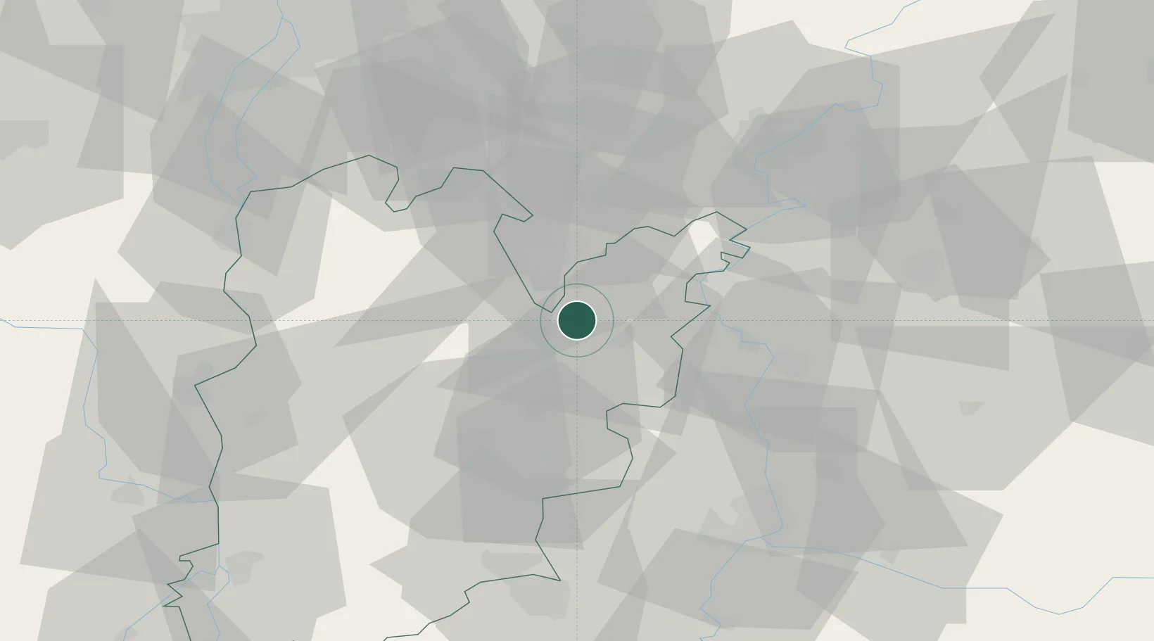
Hub Profile
Place type
Populated place
Region
Bács-Kiskun
Population
1,691
Time zone
Europe/Budapest
Elevation
106 m
Location
Nearby Logistics Neighbours
Cities
- 1Pálmonostora20 km
- 2Bokros22 km
- 3Kocsér28 km
- 4Tiszakécske32 km
- 5Kistelek37 km
Ports
- 1Senj425 km
- 2Bakar434 km
- 3Omisalj437 km
- 4Rijeka Luka440 km
- 5Dugi Rat442 km
Airports
- 1Kecskemét Air Base17 km
- 2Szolnok Air Base54 km
- 3Kalocsa-Foktő Airfield66 km
- 4Budapest Liszt Ferenc International Airport83 km
- 5Tököl Airport87 km
Trade Zones
- 1Subotica Free Zone77 km
- 2Göd Special Economic Zone111 km
- 3Free Zone Curtici Arad126 km
- 4VGP Park Arad132 km
- 5Apatin Free Zone135 km
DatabookThe Record of Consolidated Knowledge
Hungary beyond logistics?