Transport Functions
Multimodal
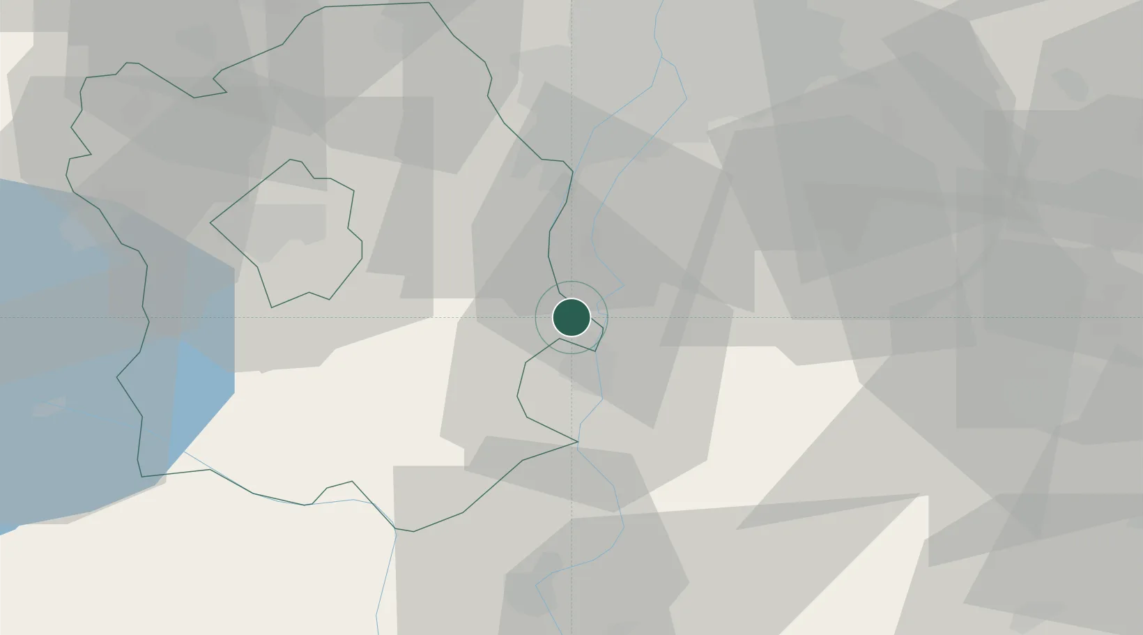
Hub Profile
Place type
Populated place
Region
Fejér
Time zone
Europe/Budapest
Elevation
145 m
Location
Nearby Logistics Neighbours
Cities
- 1Rácalmás4 km
- 2Adony8 km
- 3Dunaújváros9 km
- 4Lajosmizse11 km
- 5Pusztaszabolcs15 km
Ports
- 1Senj386 km
- 2Bakar390 km
- 3Omisalj393 km
- 4Rijeka Luka394 km
- 5Zadar435 km
Airports
- 1Tököl Airport33 km
- 2Budapest Liszt Ferenc International Airport50 km
- 3Kalocsa-Foktő Airfield56 km
- 4Kecskemét Air Base65 km
- 5Szolnok Air Base100 km
Trade Zones
- 1Göd Special Economic Zone73 km
- 2Subotica Free Zone121 km
- 3Apatin Free Zone152 km
- 4Podunavska Gospodarska Zona Vukovar190 km
- 5Osijek Free Zone195 km
DatabookThe Record of Consolidated Knowledge
Hungary beyond logistics?