Transport Functions
Rail
Road
Hub Profile
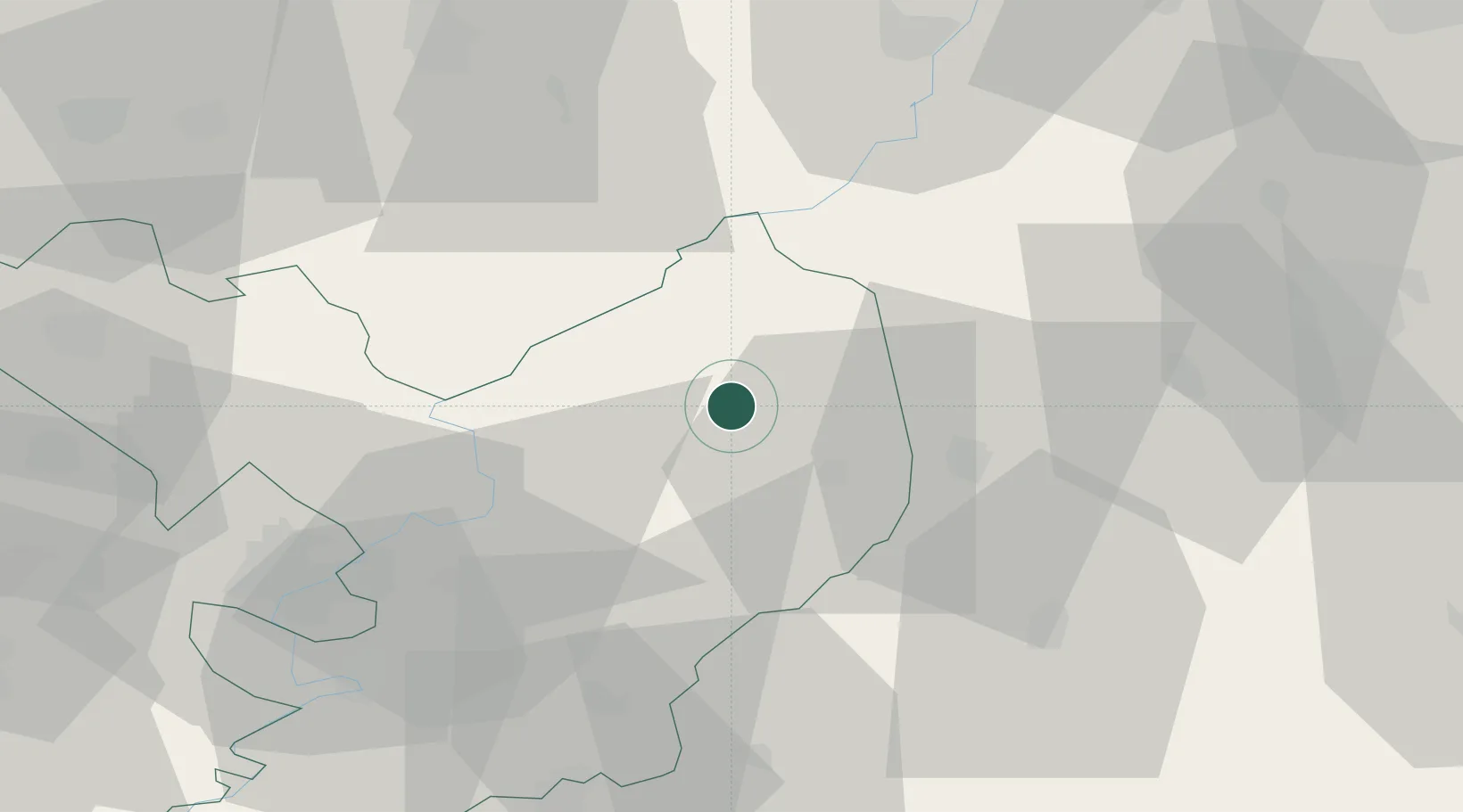
Place type
Populated place
Region
Jász-Nagykun-Szolnok
Population
5,826
Time zone
Europe/Budapest
Elevation
90 m
Location
Nearby Logistics Neighbours
Cities
- 1Kunhegyes13 km
- 2Abadszalok14 km
- 3Karcag16 km
- 4Tiszafüred22 km
- 5Nádudvar29 km
Ports
- 1Senj527 km
- 2Bakar534 km
- 3Omisalj537 km
- 4Rijeka Luka539 km
- 5Dugi Rat546 km
Airports
Trade Zones
- 1Free Zone Curtici Arad125 km
- 2Göd Special Economic Zone125 km
- 3VGP Park Arad142 km
- 4Customs Free Zone Zahony150 km
- 5Subotica Free Zone173 km
DatabookThe Record of Consolidated Knowledge
Hungary beyond logistics?