UN/LOCODE hub · Hungary
HUTFD

Tiszafüred

47.6167°, 20.7667°
1
Transport functions

Transport Functions

Multimodal
UN/LOCODE

Hub Profile

Region
JN
GeoNames

Location

Location of HUTFD
Natural Earth 10m (public domain) · JN · HUTFD · 47.62, 20.77GoogleOSMYandex

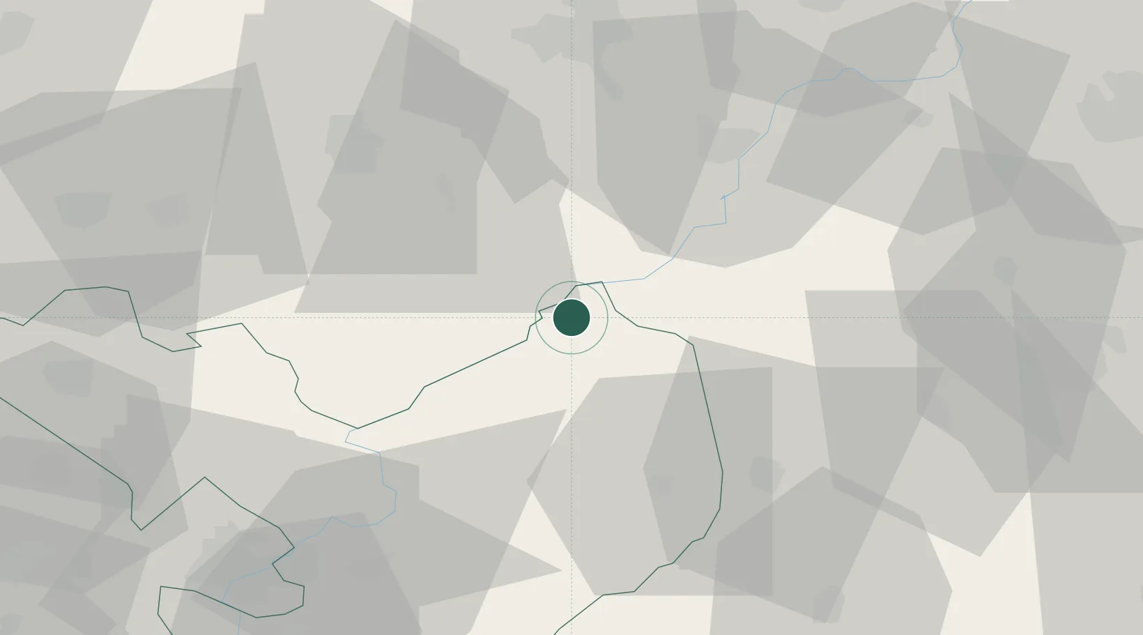
Nearby Logistics Neighbours

Cities
  1. 1Abadszalok20 km
  2. 2Kunmadaras22 km
  3. 3Gelej24 km
  4. 4Kunhegyes30 km
  5. 5Fuzesabony30 km
Nearest neighbours — logibook spatial index (haversine) over the source coordinates
Ports
  1. 1Senj537 km
  2. 2Bakar542 km
  3. 3Omisalj546 km
  4. 4Rijeka Luka547 km
  5. 5Dugi Rat563 km
Nearest neighbours — logibook spatial index (haversine) over the source coordinates
Airports
  1. 1Debrecen International Airport65 km
  2. 2Szolnok Air Base68 km
  3. 3Oradea International Airport108 km
  4. 4Kecskemét Air Base109 km
  5. 5Budapest Liszt Ferenc International Airport115 km
Nearest neighbours — logibook spatial index (haversine) over the source coordinates
Trade Zones
  1. 1Göd Special Economic Zone120 km
  2. 2Customs Free Zone Zahony135 km
  3. 3Free Zone Curtici Arad146 km
  4. 4Transcarpathian Special Economic Zone (Zakarpattia)159 km
  5. 5VGP Park Arad164 km
Nearest neighbours — logibook spatial index (haversine) over the source coordinates
DatabookThe Record of Consolidated Knowledge
Hungary beyond logistics?
Browse databook

All Sources

LocationsUN/LOCODE
UN/LOCODE — free
Portsthe NGA World Port Index
Public domain (US gov)
AirportsOurAirports
Public domain
Trade Zonesthe World Bank SEZ database
CC BY 4.0
Trade ZonesOpen Zone Map
CC BY
← Hungary locations