Transport Functions
Multimodal
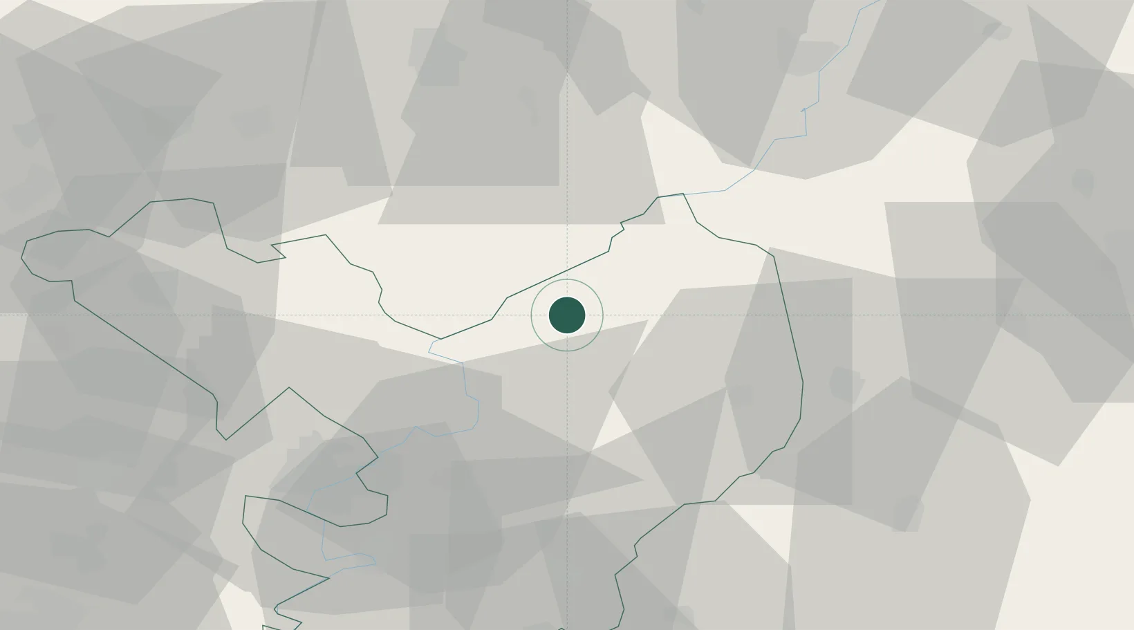
Hub Profile
Place type
Populated place
Region
Jász-Nagykun-Szolnok
Population
4,180
Time zone
Europe/Budapest
Elevation
87 m
Location
Nearby Logistics Neighbours
Cities
- 1Kunhegyes11 km
- 2Kunmadaras14 km
- 3Tiszafüred20 km
- 4Heves29 km
- 5Karcag29 km
Ports
- 1Senj519 km
- 2Bakar525 km
- 3Omisalj528 km
- 4Rijeka Luka530 km
- 5Dugi Rat543 km
Airports
Trade Zones
- 1Göd Special Economic Zone111 km
- 2Free Zone Curtici Arad134 km
- 3VGP Park Arad151 km
- 4Customs Free Zone Zahony155 km
- 5Subotica Free Zone172 km
DatabookThe Record of Consolidated Knowledge
Hungary beyond logistics?