Medium airport · Hungary
Hévíz–Balaton AirportLHSM
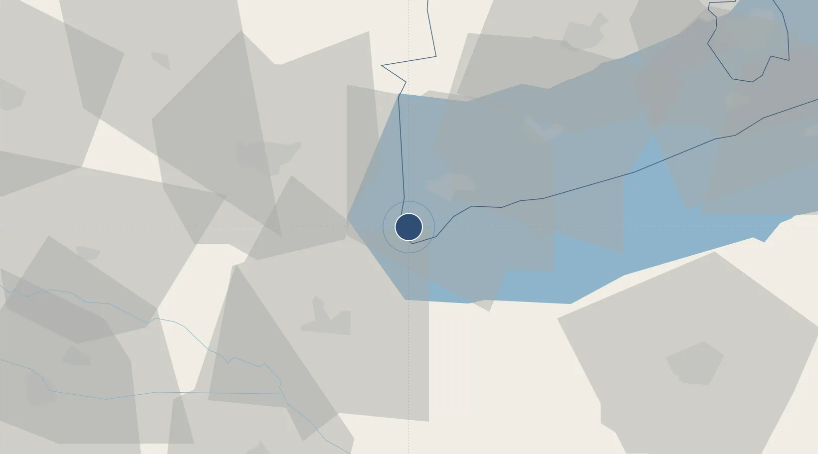
46.6864°, 17.1591°
8,202 ft
Longest runway
1
Runways
408 ft
Elevation
Runway & Layout

Radio Frequencies
TWR
127.6 MHz
AFIS
127.6 MHz
INFO
Navaids
SME NDB Sarmellek 428 kHz
Runways · 1
| Runway | Dimensions | Surface | True heading | Lit |
|---|---|---|---|---|
| 16/34 | 8,202 × 197ft | Concrete | 165° | ✓ |
Airport Specifications
IATA code
SOB
ICAO code
LHSM
Airport class
Medium airport
Scheduled service
Yes
Runway surface
Concrete
Served city
Sármellék
Location
Nearby Logistics Neighbours
Airports
- 1Taszár Air Base67 km
- 2Pécs-Pogány International Airport114 km
- 3Maribor Edvard Rusjan Airport115 km
- 4Győr-Pér Airport116 km
- 5Zagreb Franjo Tuđman International Airport134 km
Cities
- 1Nagyrada8 km
- 2Keszthely11 km
- 3Savoly13 km
- 4Nemessándorháza19 km
- 5Zalaegerszeg30 km
Ports
- 1Bakar255 km
- 2Senj258 km
- 3Rijeka Luka259 km
- 4Omisalj260 km
- 5Trieste287 km
Trade Zones
- 1Sjever Free Zone77 km
- 2Krapina-Zagorje Free Zone115 km
- 3PJ Free Zone Zagreb140 km
- 4Apatin Free Zone179 km
- 5Duro Daković Free Zone181 km
DatabookThe Record of Consolidated Knowledge
Hungary beyond logistics?