Transport Functions
Rail
Road
Hub Profile
Place type
District seat
Region
Burgenland
Population
5,438
Time zone
Europe/Vienna
Elevation
396 m
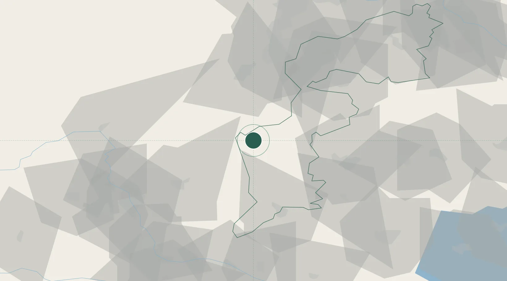
Location
Nearby Logistics Neighbours
Cities
- 1Riedlingsdorf2 km
- 2Markt Allhau15 km
- 3Koszeg20 km
- 4Aspang21 km
- 5Ebersdorf22 km
Ports
- 1Bakar260 km
- 2Rijeka Luka260 km
- 3Trieste263 km
- 4Monfalcone264 km
- 5Muggia266 km
Airports
Trade Zones
- 1Sjever Free Zone121 km
- 2Krapina-Zagorje Free Zone136 km
- 3PJ Free Zone Zagreb175 km
- 4Veselí nad Moravou Industrial Zone200 km
- 5Černovická Terasa Industrial Zone205 km
DatabookThe Record of Consolidated Knowledge
Austria beyond logistics?