Transport Functions
Multimodal
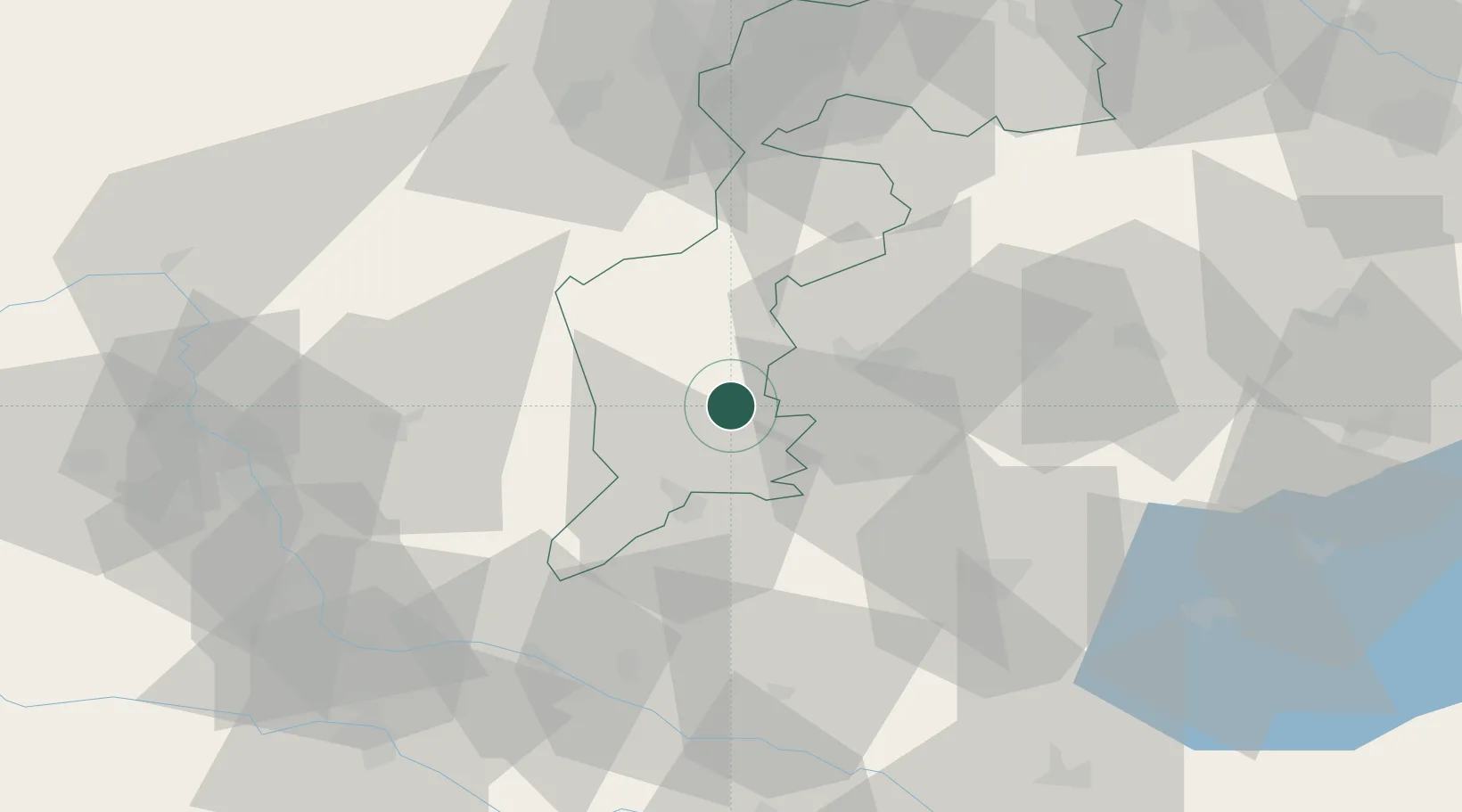
Hub Profile
Place type
District seat
Region
Burgenland
Population
919
Time zone
Europe/Vienna
Elevation
256 m
Location
Nearby Logistics Neighbours
Cities
- 1Markt Allhau22 km
- 2Ratot23 km
- 3Fürstenfeld24 km
- 4Szentgotthárd24 km
- 5Koszeg24 km
Ports
- 1Bakar250 km
- 2Rijeka Luka252 km
- 3Omisalj257 km
- 4Trieste261 km
- 5Muggia264 km
Airports
- 1Graz Airport72 km
- 2Wiener Neustadt West Airport75 km
- 3Wiener Neustadt East Airport76 km
- 4Hévíz–Balaton Airport81 km
- 5Maribor Edvard Rusjan Airport92 km
Trade Zones
- 1Sjever Free Zone98 km
- 2Krapina-Zagorje Free Zone119 km
- 3PJ Free Zone Zagreb156 km
- 4Veselí nad Moravou Industrial Zone213 km
- 5Göd Special Economic Zone220 km
DatabookThe Record of Consolidated Knowledge
Austria beyond logistics?