Transport Functions
Rail
Road
Hub Profile
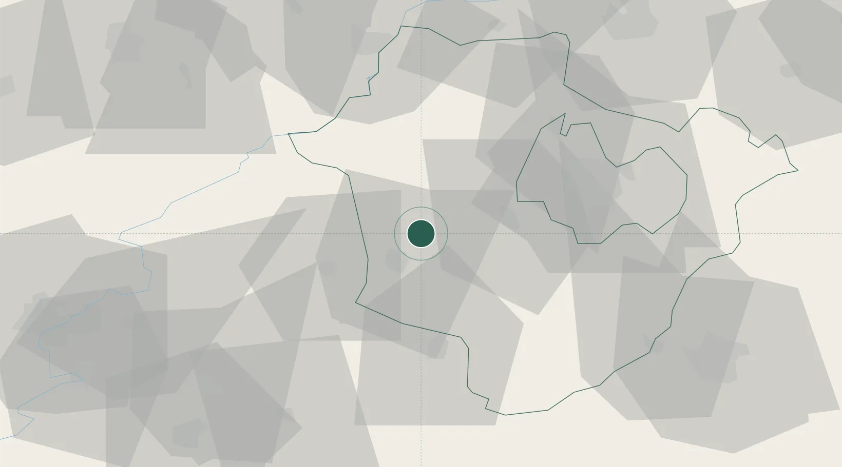
Place type
Populated place
Region
Hajdú-Bihar
Population
9,135
Time zone
Europe/Budapest
Elevation
85 m
Location
Nearby Logistics Neighbours
Cities
- 1Kaba12 km
- 2Barand14 km
- 3Karcag23 km
- 4Ebes26 km
- 5Kunmadaras29 km
Ports
- 1Senj553 km
- 2Bakar561 km
- 3Omisalj564 km
- 4Dugi Rat564 km
- 5Rijeka Luka566 km
Airports
- 1Debrecen International Airport35 km
- 2Oradea International Airport71 km
- 3Szolnok Air Base78 km
- 4Kecskemét Air Base121 km
- 5Satu Mare International Airport133 km
Trade Zones
- 1Free Zone Curtici Arad119 km
- 2Customs Free Zone Zahony132 km
- 3VGP Park Arad138 km
- 4Göd Special Economic Zone153 km
- 5Transcarpathian Special Economic Zone (Zakarpattia)158 km
DatabookThe Record of Consolidated Knowledge
Hungary beyond logistics?