Transport Functions
Multimodal
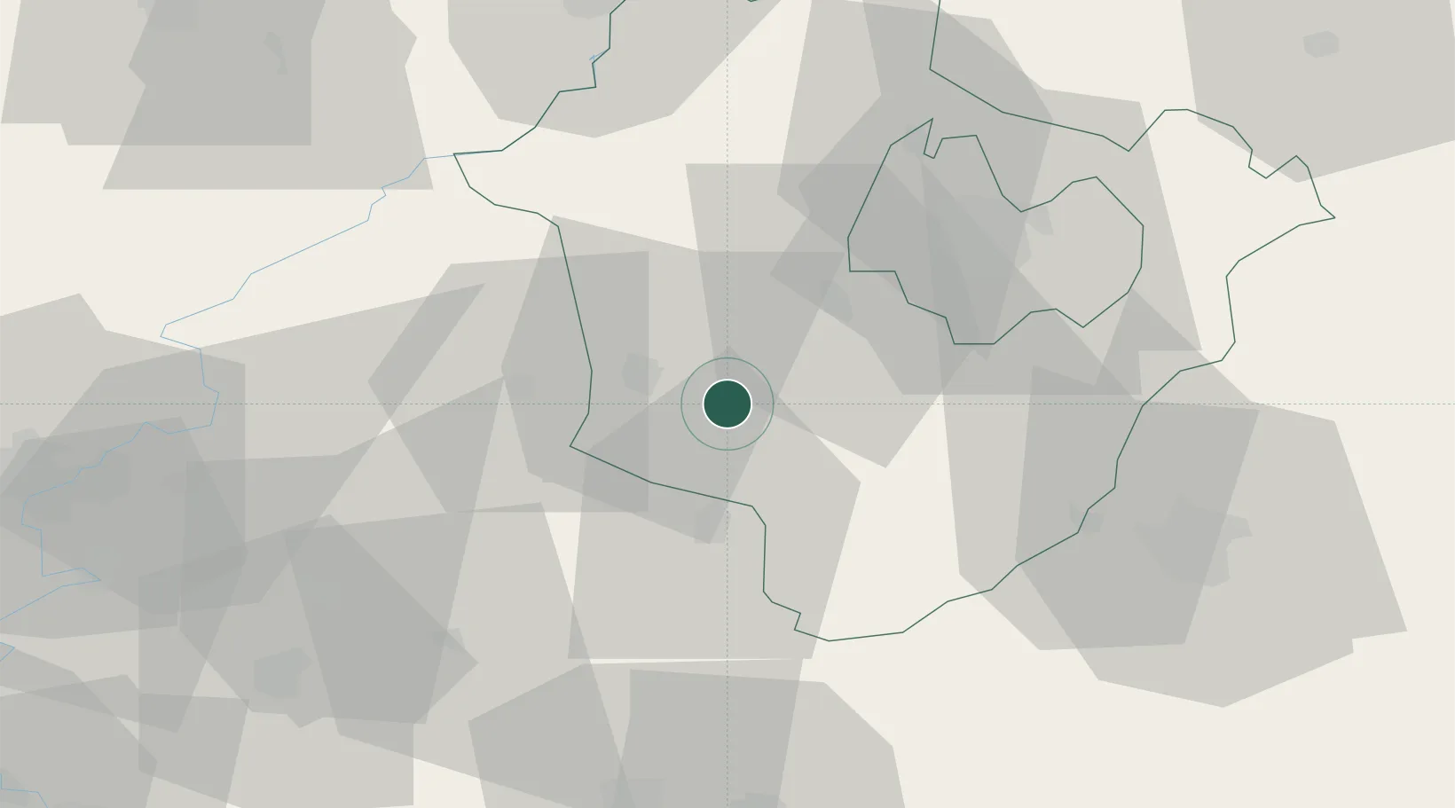
Hub Profile
Place type
Populated place
Region
Hajdú-Bihar
Population
2,728
Time zone
Europe/Budapest
Elevation
87 m
Location
Nearby Logistics Neighbours
Cities
- 1Kaba7 km
- 2Nádudvar14 km
- 3Füzesgyarmat22 km
- 4Karcag24 km
- 5Berettyóújfalu25 km
Airports
- 1Debrecen International Airport36 km
- 2Oradea International Airport59 km
- 3Szolnok Air Base78 km
- 4Kecskemét Air Base120 km
- 5Arad International Airport125 km
Trade Zones
- 1Free Zone Curtici Arad106 km
- 2VGP Park Arad125 km
- 3Customs Free Zone Zahony140 km
- 4Göd Special Economic Zone161 km
- 5Transcarpathian Special Economic Zone (Zakarpattia)167 km
DatabookThe Record of Consolidated Knowledge
Hungary beyond logistics?