Transport Functions
Rail
Road
Hub Profile
Place type
Populated place
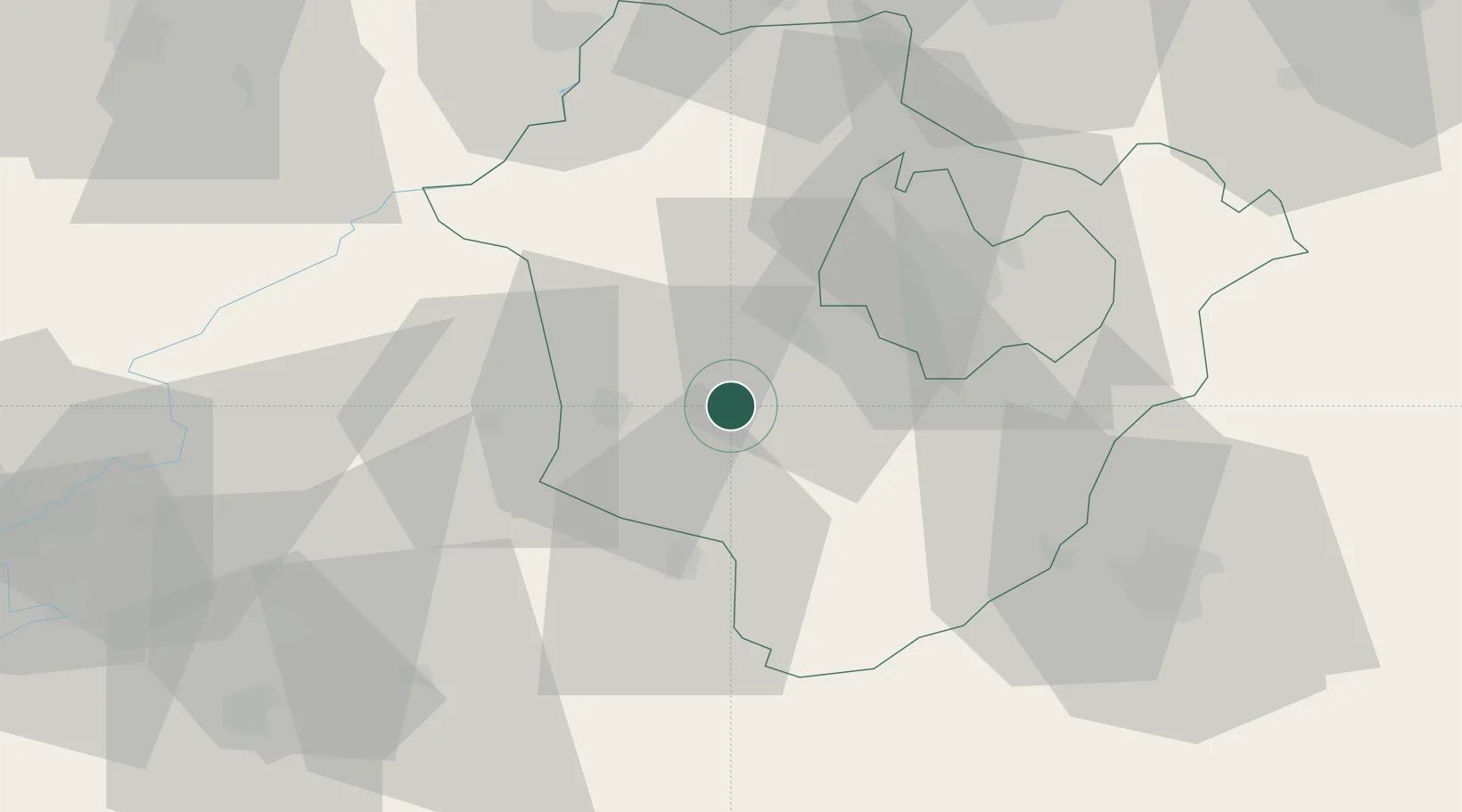
Region
Hajdú-Bihar
Population
6,392
Time zone
Europe/Budapest
Elevation
86 m
Location
Nearby Logistics Neighbours
Cities
- 1Barand7 km
- 2Nádudvar12 km
- 3Ebes21 km
- 4Berettyóújfalu24 km
- 5Karcag28 km
Airports
- 1Debrecen International Airport30 km
- 2Oradea International Airport59 km
- 3Szolnok Air Base83 km
- 4Kecskemét Air Base126 km
- 5Satu Mare International Airport127 km
Trade Zones
- 1Free Zone Curtici Arad111 km
- 2VGP Park Arad131 km
- 3Customs Free Zone Zahony134 km
- 4Transcarpathian Special Economic Zone (Zakarpattia)160 km
- 5Göd Special Economic Zone163 km
DatabookThe Record of Consolidated Knowledge
Hungary beyond logistics?