Transport Functions
Rail
Road
Hub Profile
Place type
Provincial seat
Region
Heves County
Population
32,938
Time zone
Europe/Budapest
Elevation
168 m
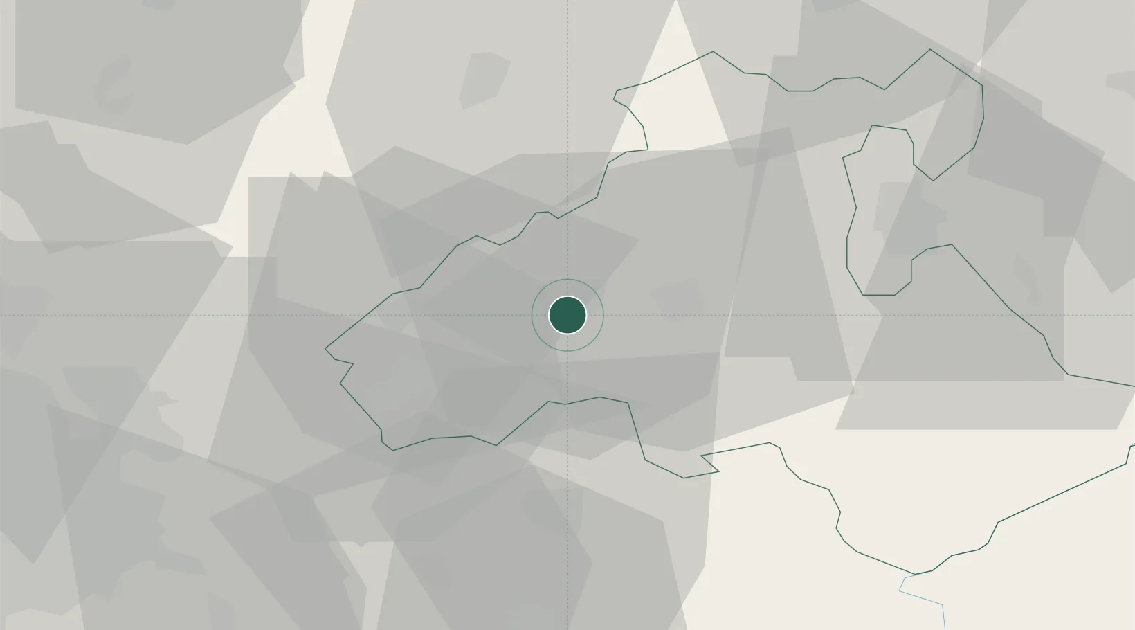
Location
Nearby Logistics Neighbours
Cities
- 1Petofibánya15 km
- 2Jászárokszállás17 km
- 3Verpelét25 km
- 4Tofalu25 km
- 5Sirok27 km
Ports
- 1Senj495 km
- 2Bakar496 km
- 3Rijeka Luka500 km
- 4Omisalj500 km
- 5Zaliv Rasa542 km
Airports
- 1Budapest Liszt Ferenc International Airport63 km
- 2Szolnok Air Base77 km
- 3Tököl Airport86 km
- 4Kecskemét Air Base97 km
- 5Sliač Airport111 km
Trade Zones
- 1Göd Special Economic Zone57 km
- 2Free Zone Curtici Arad190 km
- 3Subotica Free Zone191 km
- 4VGP Park Arad205 km
- 5Veselí nad Moravou Industrial Zone228 km
DatabookThe Record of Consolidated Knowledge
Hungary beyond logistics?