Transport Functions
Rail
Road
Hub Profile
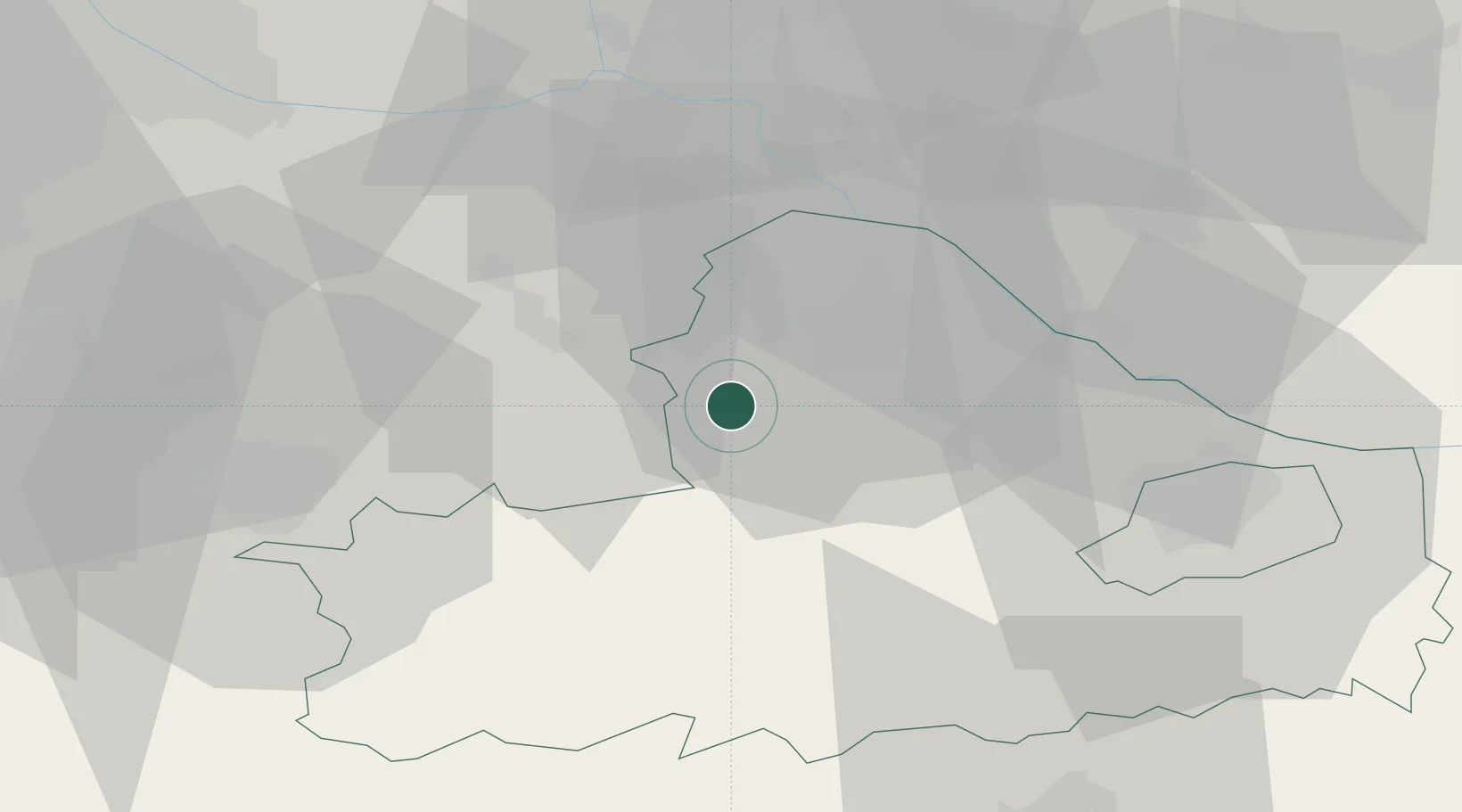
Place type
Populated place
Region
Győr-Moson-Sopron
Population
6,283
Time zone
Europe/Budapest
Elevation
120 m
Location
Nearby Logistics Neighbours
Cities
- 1Mosonszolnok8 km
- 2Frauenkirchen14 km
- 3Nickelsdorf15 km
- 4Mönchhof16 km
- 5Pamhagen19 km
Ports
- 1Bakar341 km
- 2Rijeka Luka343 km
- 3Omisalj348 km
- 4Trieste351 km
- 5Monfalcone352 km
Airports
Trade Zones
- 1Veselí nad Moravou Industrial Zone130 km
- 2Göd Special Economic Zone154 km
- 3Černovická Terasa Industrial Zone156 km
- 4Holešov Industrial Zone173 km
- 5Sjever Free Zone178 km
DatabookThe Record of Consolidated Knowledge
Hungary beyond logistics?