Transport Functions
Port
Multimodal
Hub Profile
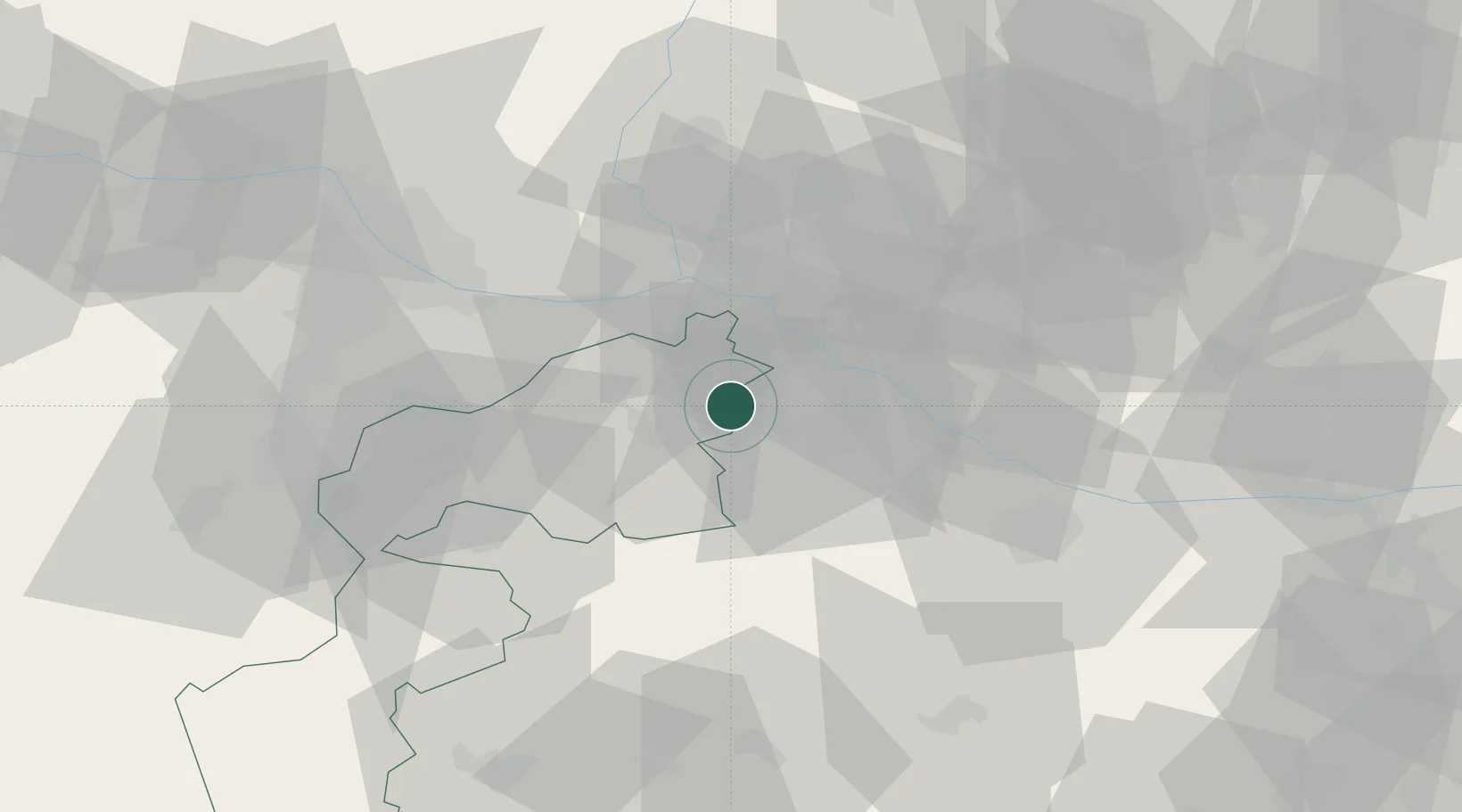
Place type
District seat
Region
Burgenland
Population
1,772
Time zone
Europe/Vienna
Elevation
139 m
Location
Nearby Logistics Neighbours
Cities
- 1Mönchhof10 km
- 2Mosonszolnok13 km
- 3Gols13 km
- 4Frauenkirchen15 km
- 5Jánossomorja15 km
Ports
- 1Bakar351 km
- 2Rijeka Luka352 km
- 3Omisalj358 km
- 4Trieste358 km
- 5Monfalcone359 km
Airports
Trade Zones
- 1Veselí nad Moravou Industrial Zone116 km
- 2Černovická Terasa Industrial Zone141 km
- 3Holešov Industrial Zone159 km
- 4Göd Special Economic Zone159 km
- 5Sjever Free Zone191 km
DatabookThe Record of Consolidated Knowledge
Austria beyond logistics?