Transport Functions
Rail
Road
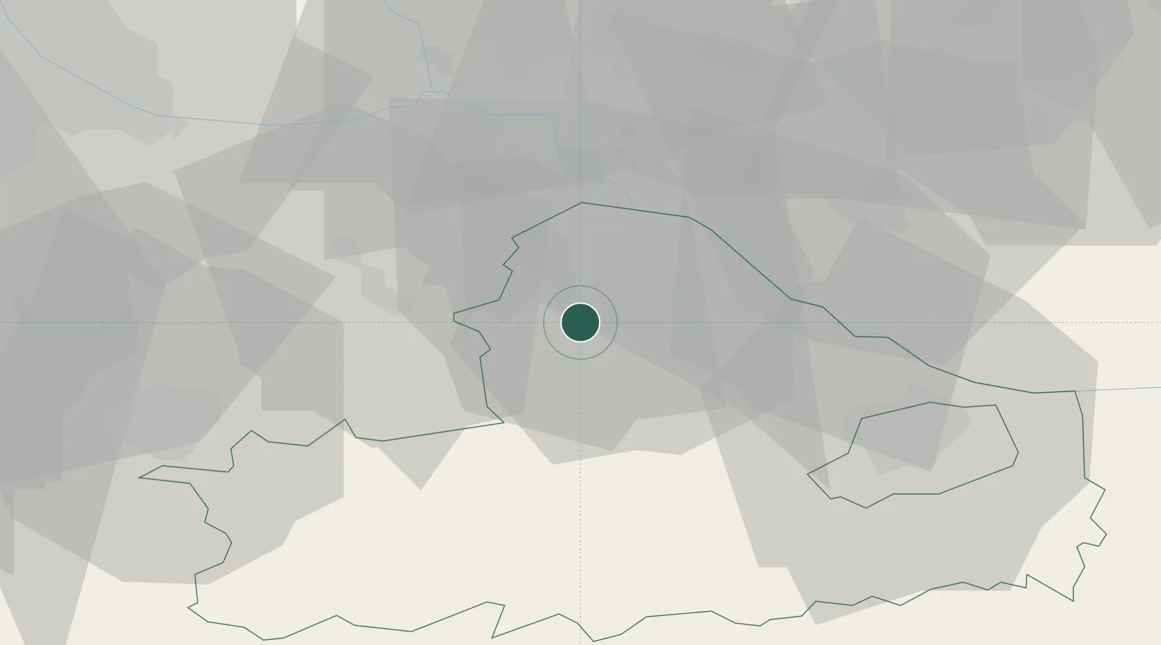
Hub Profile
Place type
Populated place
Region
Győr-Moson-Sopron
Time zone
Europe/Budapest
Elevation
119 m
Location
Nearby Logistics Neighbours
Cities
- 1Jánossomorja8 km
- 2Nickelsdorf13 km
- 3Mönchhof18 km
- 4Frauenkirchen19 km
- 5Dunaremete19 km
Ports
- 1Bakar348 km
- 2Rijeka Luka350 km
- 3Omisalj355 km
- 4Trieste358 km
- 5Monfalcone359 km
Airports
- 1M. R. Štefánik Airport36 km
- 2Győr-Pér Airport53 km
- 3Vienna International Airport54 km
- 4Malacky/Kuchyňa Air Base62 km
- 5Wiener Neustadt East Airport69 km
Trade Zones
- 1Veselí nad Moravou Industrial Zone124 km
- 2Göd Special Economic Zone150 km
- 3Černovická Terasa Industrial Zone152 km
- 4Holešov Industrial Zone166 km
- 5Sjever Free Zone185 km
DatabookThe Record of Consolidated Knowledge
Hungary beyond logistics?