Transport Functions
Rail
Road
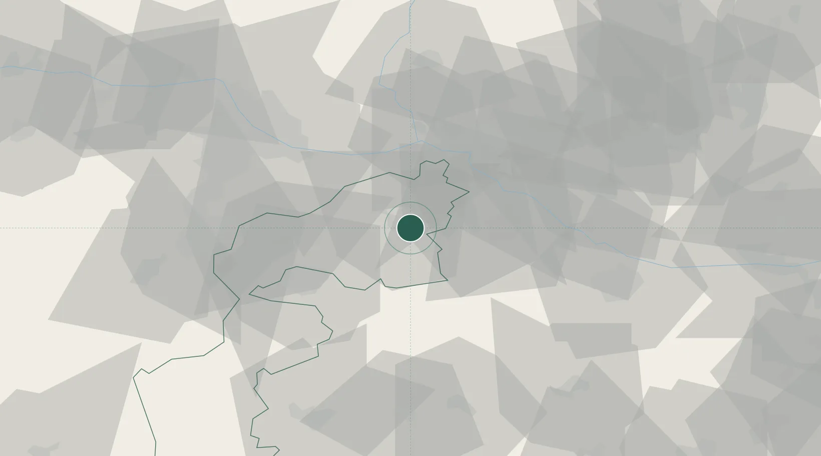
Location
Nearby Logistics Neighbours
Cities
- 1Gols4 km
- 2Frauenkirchen6 km
- 3Podersdorf am See10 km
- 4Nickelsdorf10 km
- 5Jois15 km
Ports
- 1Bakar341 km
- 2Rijeka Luka343 km
- 3Trieste348 km
- 4Monfalcone348 km
- 5Omisalj349 km
Airports
Trade Zones
- 1Veselí nad Moravou Industrial Zone123 km
- 2Černovická Terasa Industrial Zone145 km
- 3Holešov Industrial Zone166 km
- 4Göd Special Economic Zone167 km
- 5Sjever Free Zone183 km
DatabookThe Record of Consolidated Knowledge
Austria beyond logistics?