Transport Functions
Rail
Road
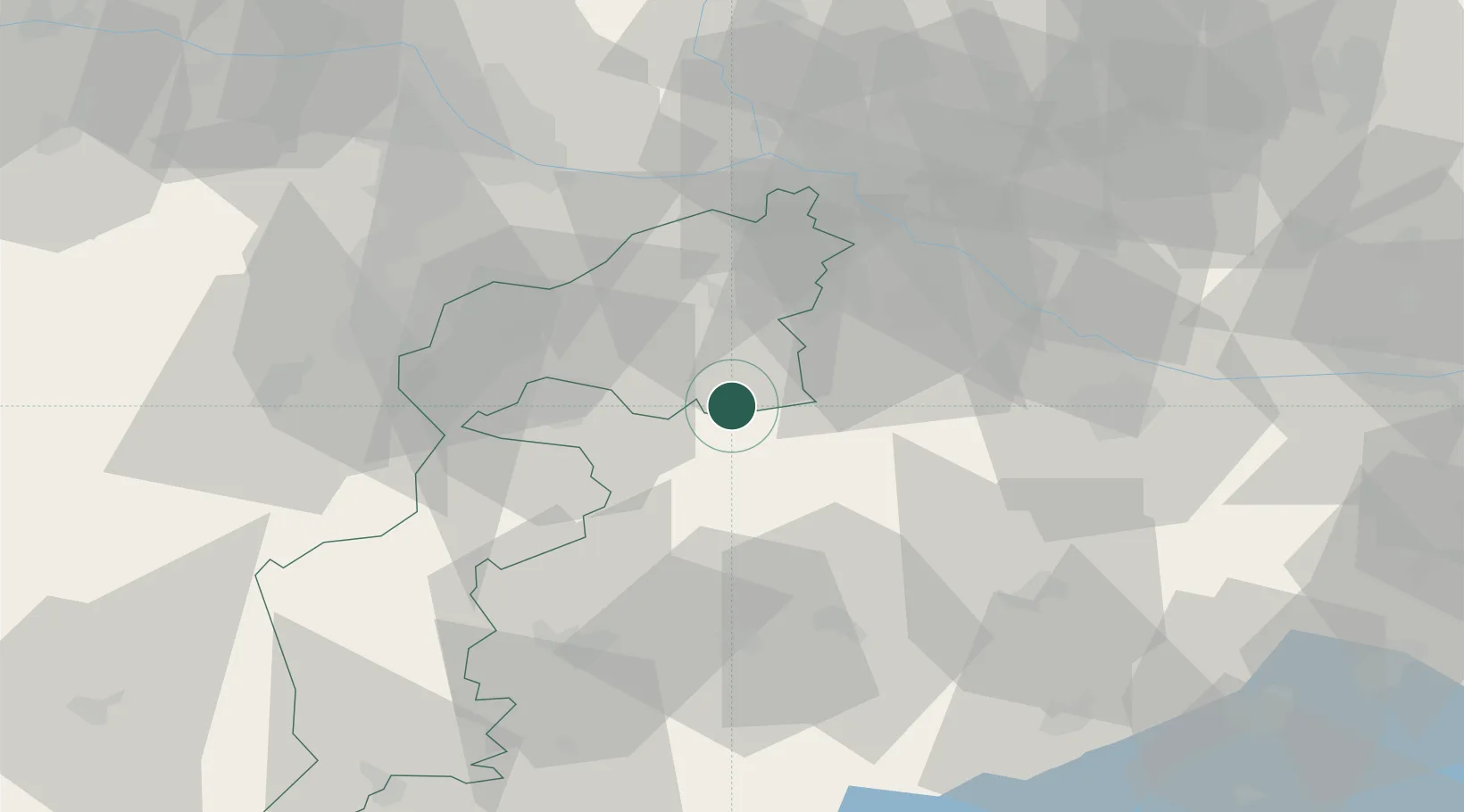
Hub Profile
Place type
District seat
Region
Burgenland
Population
1,623
Time zone
Europe/Vienna
Elevation
121 m
Location
Nearby Logistics Neighbours
Cities
- 1Fertöújlak4 km
- 2Frauenkirchen15 km
- 3Podersdorf am See18 km
- 4Jánossomorja19 km
- 5Morbisch am See20 km
Ports
- 1Bakar323 km
- 2Rijeka Luka325 km
- 3Omisalj330 km
- 4Trieste332 km
- 5Monfalcone334 km
Airports
Trade Zones
- 1Veselí nad Moravou Industrial Zone144 km
- 2Sjever Free Zone163 km
- 3Černovická Terasa Industrial Zone165 km
- 4Göd Special Economic Zone169 km
- 5Holešov Industrial Zone187 km
DatabookThe Record of Consolidated Knowledge
Austria beyond logistics?