Transport Functions
Multimodal
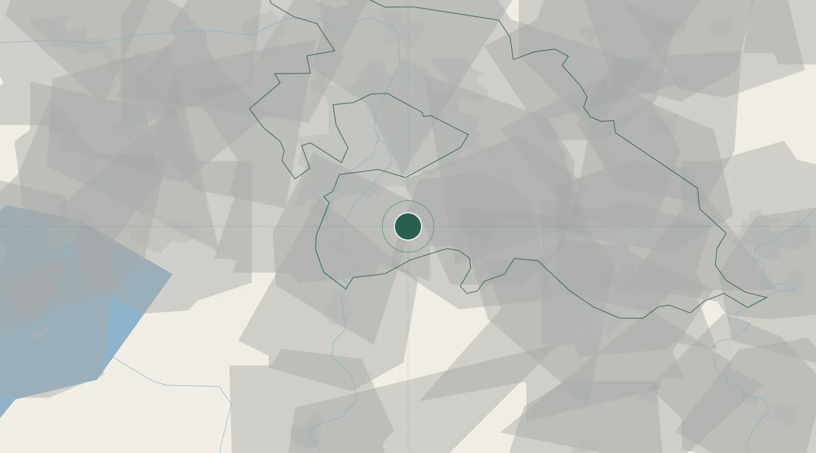
Hub Profile
Place type
Populated place
Region
Pest County
Population
5,412
Time zone
Europe/Budapest
Elevation
97 m
Location
Nearby Logistics Neighbours
Cities
- 1Dunavarsány9 km
- 2Kiskunlacháza10 km
- 3Ócsa11 km
- 4Majoshaza13 km
- 5Dabas13 km
Ports
- 1Senj411 km
- 2Bakar414 km
- 3Omisalj418 km
- 4Rijeka Luka419 km
- 5Zaliv Rasa460 km
Airports
- 1Tököl Airport19 km
- 2Budapest Liszt Ferenc International Airport25 km
- 3Kecskemét Air Base56 km
- 4Kalocsa-Foktő Airfield76 km
- 5Szolnok Air Base83 km
Trade Zones
- 1Göd Special Economic Zone52 km
- 2Subotica Free Zone132 km
- 3Apatin Free Zone172 km
- 4Free Zone Curtici Arad189 km
- 5VGP Park Arad197 km
DatabookThe Record of Consolidated Knowledge
Hungary beyond logistics?