Transport Functions
Port
Rail
Hub Profile
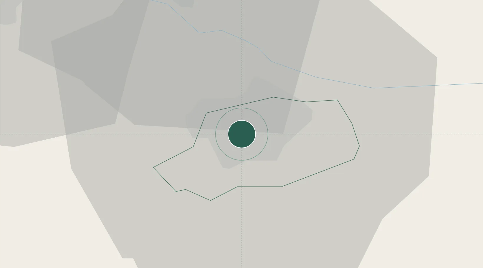
Place type
Regional capital
Region
Győr-Moson-Sopron
Population
129,301
Time zone
Europe/Budapest
Elevation
122 m
Location
Nearby Logistics Neighbours
Cities
- 1Nyúl12 km
- 2Gónyú16 km
- 3Velky Meder21 km
- 4Zalahalap21 km
- 5Cierny22 km
Ports
- 1Bakar356 km
- 2Rijeka Luka358 km
- 3Omisalj362 km
- 4Senj366 km
- 5Trieste373 km
Airports
- 1Győr-Pér Airport14 km
- 2M. R. Štefánik Airport63 km
- 3Malacky/Kuchyňa Air Base89 km
- 4Vienna International Airport92 km
- 5Wiener Neustadt East Airport104 km
Trade Zones
- 1Göd Special Economic Zone115 km
- 2Veselí nad Moravou Industrial Zone143 km
- 3Černovická Terasa Industrial Zone180 km
- 4Holešov Industrial Zone183 km
- 5Sjever Free Zone183 km
DatabookThe Record of Consolidated Knowledge
Hungary beyond logistics?