Transport Functions
Multimodal
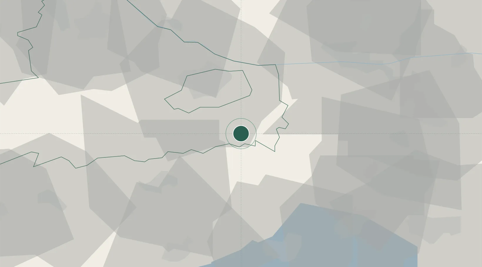
Hub Profile
Place type
Populated place
Region
Veszprém
Time zone
Europe/Budapest
Elevation
174 m
Location
Nearby Logistics Neighbours
Ports
- 1Bakar350 km
- 2Rijeka Luka352 km
- 3Omisalj355 km
- 4Senj358 km
- 5Trieste371 km
Airports
- 1Győr-Pér Airport13 km
- 2M. R. Štefánik Airport84 km
- 3Tököl Airport93 km
- 4Hévíz–Balaton Airport103 km
- 5Malacky/Kuchyňa Air Base110 km
Trade Zones
- 1Göd Special Economic Zone107 km
- 2Veselí nad Moravou Industrial Zone163 km
- 3Sjever Free Zone174 km
- 4Černovická Terasa Industrial Zone201 km
- 5Holešov Industrial Zone202 km
DatabookThe Record of Consolidated Knowledge
Hungary beyond logistics?