Transport Functions
Rail
Road
Multimodal
Hub Profile
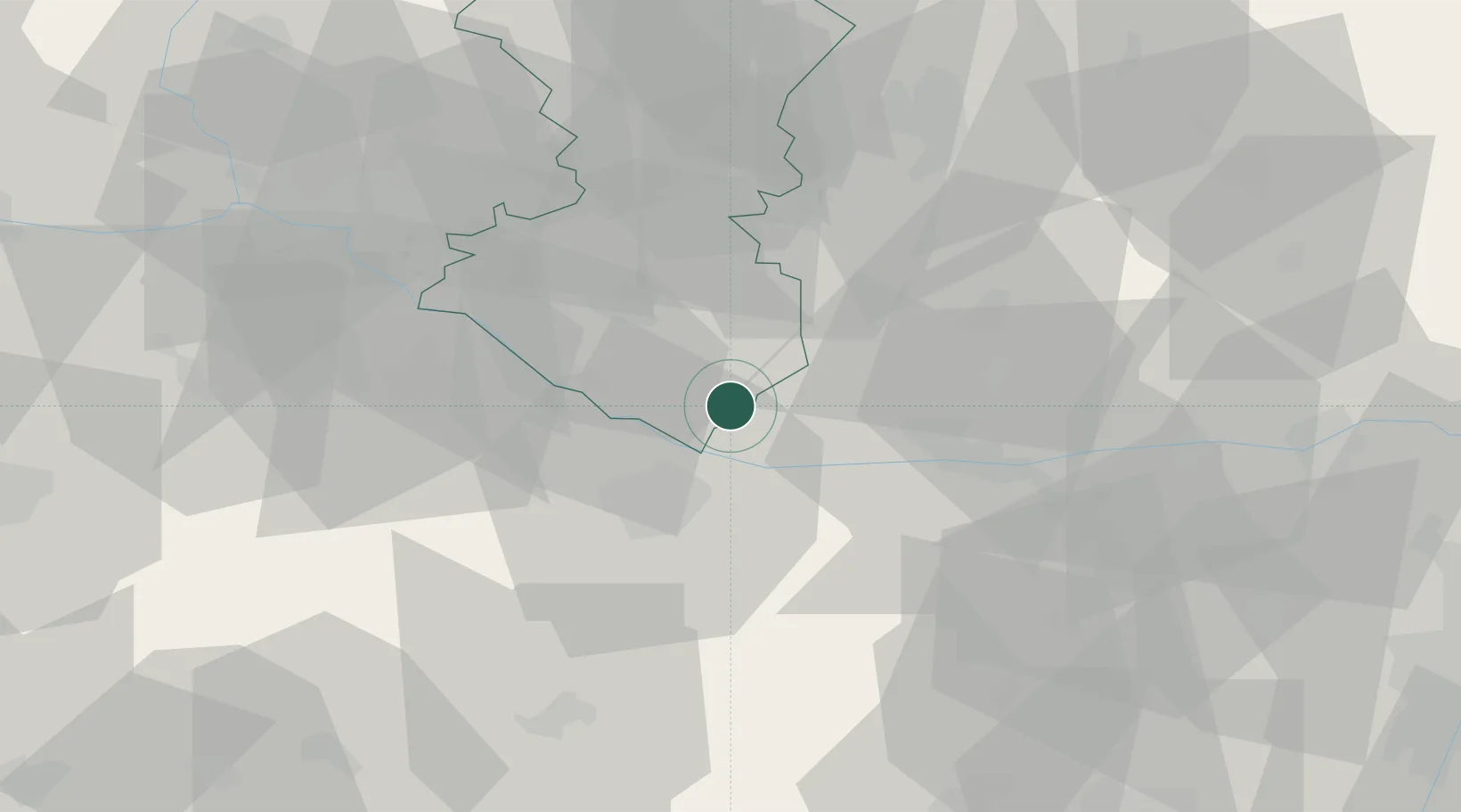
Place type
Populated place
Region
Trnava Region
Population
8,301
Time zone
Europe/Bratislava
Elevation
111 m
Location
Nearby Logistics Neighbours
Cities
- 1Dolný Stál10 km
- 2Cierny11 km
- 3Topolníky13 km
- 4Mad13 km
- 5Gónyú14 km
Ports
- 1Bakar376 km
- 2Rijeka Luka378 km
- 3Omisalj382 km
- 4Senj387 km
- 5Trieste392 km
Airports
- 1Győr-Pér Airport25 km
- 2M. R. Štefánik Airport55 km
- 3Malacky/Kuchyňa Air Base78 km
- 4Piešťany Airport86 km
- 5Vienna International Airport94 km
Trade Zones
- 1Göd Special Economic Zone106 km
- 2Veselí nad Moravou Industrial Zone126 km
- 3Holešov Industrial Zone165 km
- 4Černovická Terasa Industrial Zone168 km
- 5Sjever Free Zone204 km
DatabookThe Record of Consolidated Knowledge
Slovakia beyond logistics?