Transport Functions
Multimodal
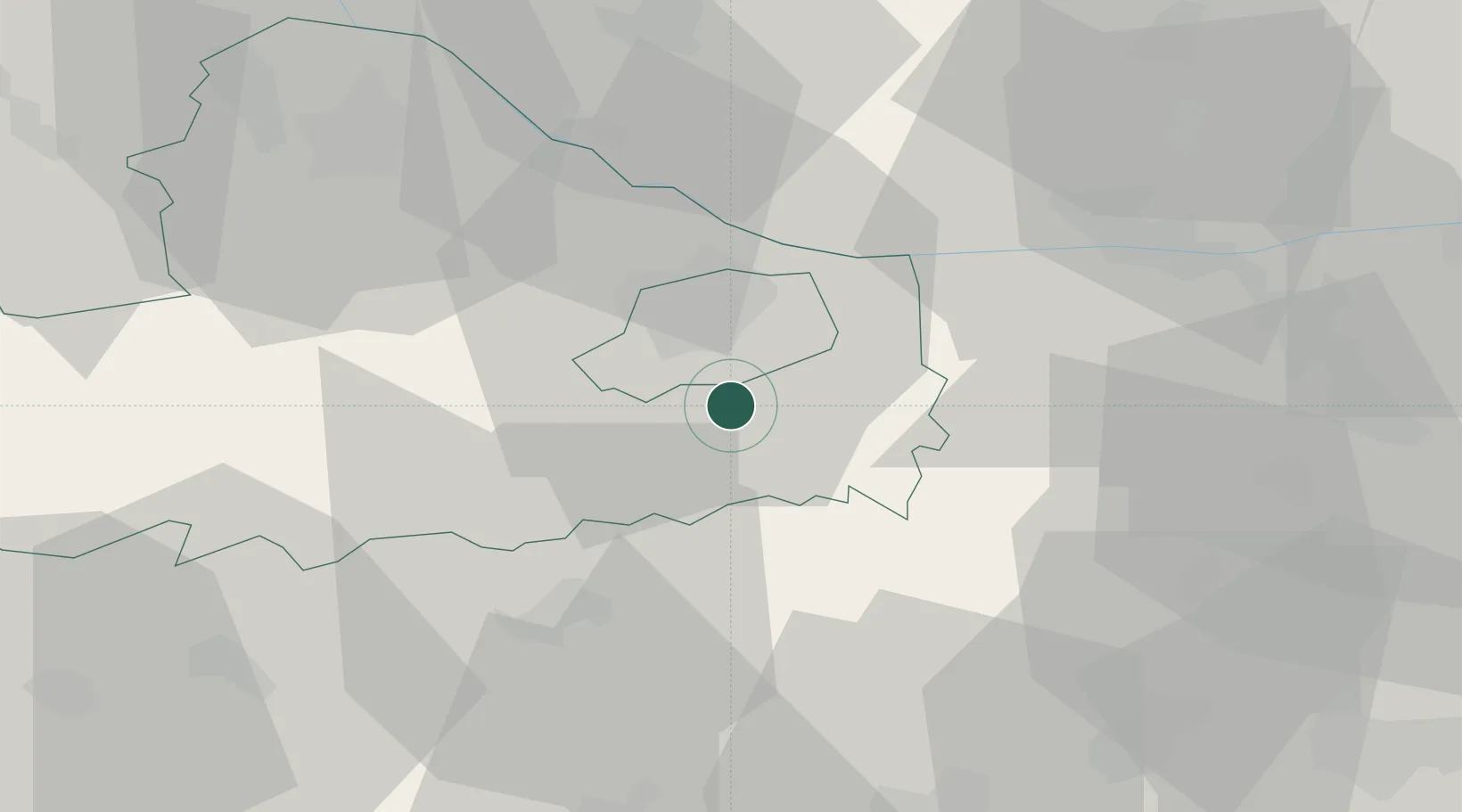
Hub Profile
Place type
Populated place
Region
Győr-Moson-Sopron
Population
3,816
Time zone
Europe/Budapest
Elevation
125 m
Location
Nearby Logistics Neighbours
Ports
- 1Bakar350 km
- 2Rijeka Luka353 km
- 3Omisalj356 km
- 4Senj360 km
- 5Trieste370 km
Airports
- 1Győr-Pér Airport10 km
- 2M. R. Štefánik Airport74 km
- 3Malacky/Kuchyňa Air Base100 km
- 4Tököl Airport101 km
- 5Vienna International Airport102 km
Trade Zones
- 1Göd Special Economic Zone112 km
- 2Veselí nad Moravou Industrial Zone154 km
- 3Sjever Free Zone176 km
- 4Černovická Terasa Industrial Zone192 km
- 5Holešov Industrial Zone194 km
DatabookThe Record of Consolidated Knowledge
Hungary beyond logistics?