Transport Functions
Port
Road
Hub Profile
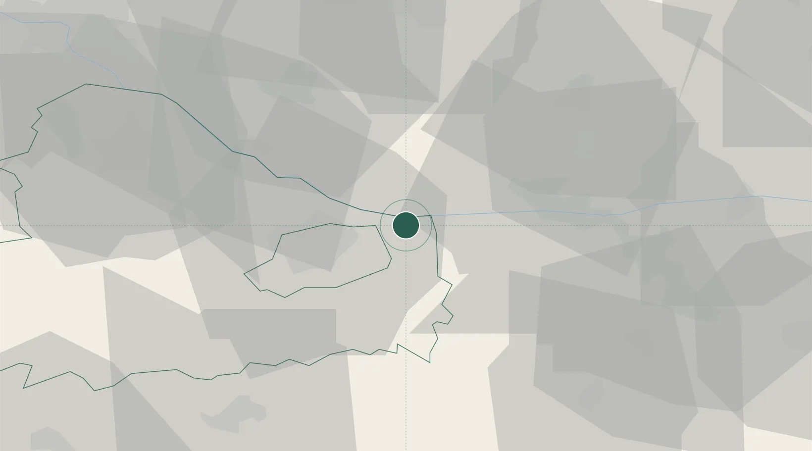
Place type
Populated place
Region
Győr-Moson-Sopron
Time zone
Europe/Budapest
Elevation
115 m
Location
Nearby Logistics Neighbours
Cities
- 1Velky Meder14 km
- 2Acs14 km
- 3Gyor16 km
- 4Nova Straz17 km
- 5Nyúl20 km
Ports
- 1Bakar370 km
- 2Rijeka Luka373 km
- 3Omisalj376 km
- 4Senj380 km
- 5Trieste388 km
Airports
- 1Győr-Pér Airport12 km
- 2M. R. Štefánik Airport67 km
- 3Malacky/Kuchyňa Air Base91 km
- 4Tököl Airport96 km
- 5Piešťany Airport99 km
Trade Zones
- 1Göd Special Economic Zone100 km
- 2Veselí nad Moravou Industrial Zone140 km
- 3Holešov Industrial Zone179 km
- 4Černovická Terasa Industrial Zone181 km
- 5Sjever Free Zone196 km
DatabookThe Record of Consolidated Knowledge
Hungary beyond logistics?