UN/LOCODE hub · Hungary
HUBTF
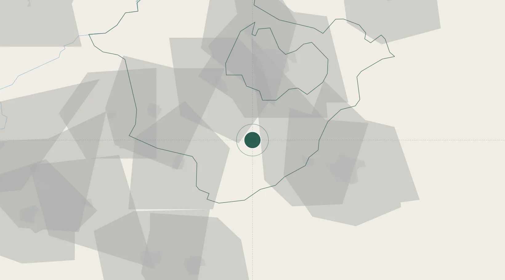
Berettyóújfalu
47.2167°, 21.5333°
14,614
Population
2
Transport functions
Transport Functions
Rail
Road
Hub Profile
Place type
Provincial seat
Region
Hajdú-Bihar
Population
14,614
Time zone
Europe/Budapest
Elevation
95 m
Location
Nearby Logistics Neighbours
Cities
- 1Biharkeresztes17 km
- 2Kaba24 km
- 3Barand25 km
- 4Füzesgyarmat27 km
- 5Ebes28 km
Airports
Trade Zones
- 1Free Zone Curtici Arad98 km
- 2VGP Park Arad118 km
- 3Customs Free Zone Zahony140 km
- 4VGP Park Timisoara161 km
- 5Transcarpathian Special Economic Zone (Zakarpattia)166 km
DatabookThe Record of Consolidated Knowledge
Hungary beyond logistics?