Transport Functions
Rail
Road
Hub Profile
Place type
Populated place
Region
Bekes County
Time zone
Europe/Budapest
Elevation
88 m
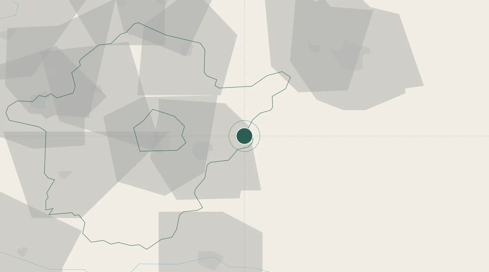
Location
Nearby Logistics Neighbours
Cities
- 1Békés27 km
- 2Mezöberény36 km
- 3Lokösháza36 km
- 4Körösladány39 km
- 5Telekgerendás42 km
Airports
Trade Zones
- 1Free Zone Curtici Arad45 km
- 2VGP Park Arad65 km
- 3VGP Park Timisoara107 km
- 4Subotica Free Zone158 km
- 5Zrenjanin Free Zone173 km
DatabookThe Record of Consolidated Knowledge
Hungary beyond logistics?