Transport Functions
Rail
Road
Multimodal
Hub Profile
Place type
Provincial seat
Region
Heves County
Population
11,311
Time zone
Europe/Budapest
Elevation
96 m
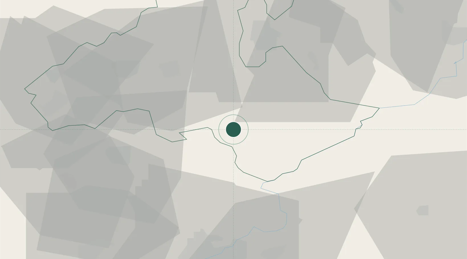
Location
Nearby Logistics Neighbours
Cities
- 1Jászapáti15 km
- 2Fuzesabony19 km
- 3Tofalu21 km
- 4Jászárokszállás24 km
- 5Alattyán26 km
Ports
- 1Senj506 km
- 2Bakar509 km
- 3Omisalj513 km
- 4Rijeka Luka514 km
- 5Dugi Rat541 km
Airports
- 1Szolnok Air Base53 km
- 2Budapest Liszt Ferenc International Airport79 km
- 3Kecskemét Air Base86 km
- 4Debrecen International Airport101 km
- 5Tököl Airport102 km
Trade Zones
- 1Göd Special Economic Zone84 km
- 2Free Zone Curtici Arad158 km
- 3Customs Free Zone Zahony165 km
- 4VGP Park Arad174 km
- 5Subotica Free Zone176 km
DatabookThe Record of Consolidated Knowledge
Hungary beyond logistics?