Transport Functions
Rail
Road
Hub Profile
Place type
Provincial seat
Region
Vukovar-Srijem
Population
28,111
Time zone
Europe/Zagreb
Elevation
91 m
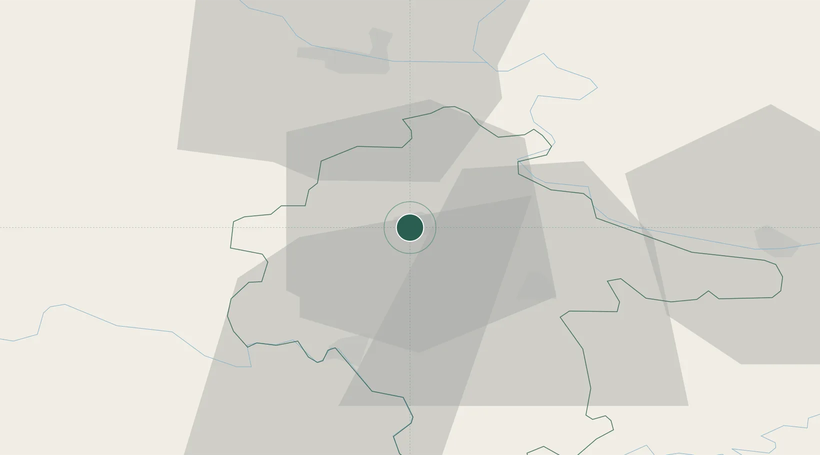
Location
Nearby Logistics Neighbours
Cities
- 1Borovo16 km
- 2Vukovar17 km
- 3Borovo Selo21 km
- 4Zupanja26 km
- 5Dalj26 km
Airports
- 1Osijek Airport20 km
- 2Pécs-Pogány International Airport90 km
- 3Tuzla International Airport92 km
- 4Batajnica Air Base121 km
- 5Banja Luka International Airport124 km
Trade Zones
- 1Podunavska Gospodarska Zona Vukovar17 km
- 2Osijek Free Zone27 km
- 3Apatin Free Zone46 km
- 4Duro Daković Free Zone63 km
- 5Novi Sad Free Zone82 km
DatabookThe Record of Consolidated Knowledge
Croatia beyond logistics?