Transport Functions
Port
Road
Hub Profile
Place type
Populated place
Region
County of Osijek-Baranja
Population
2,877
Time zone
Europe/Zagreb
Elevation
87 m
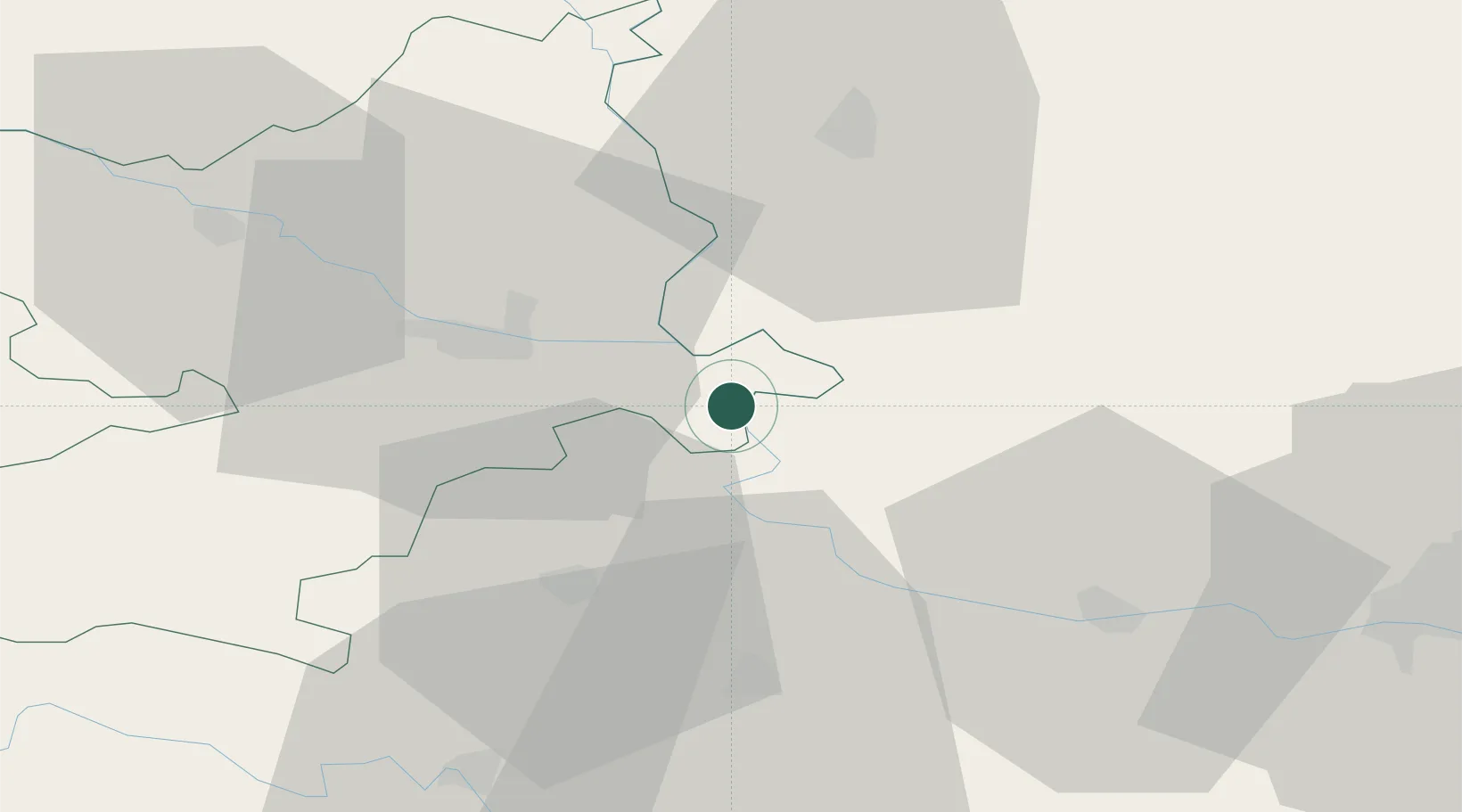
Location
Nearby Logistics Neighbours
Cities
- 1Aljmas6 km
- 2Borovo Selo7 km
- 3Erdut9 km
- 4Bogojevo11 km
- 5Borovo13 km
Airports
- 1Osijek Airport14 km
- 2Pécs-Pogány International Airport80 km
- 3Tuzla International Airport116 km
- 4Batajnica Air Base117 km
- 5Kalocsa-Foktő Airfield119 km
Trade Zones
- 1Podunavska Gospodarska Zona Vukovar16 km
- 2Apatin Free Zone22 km
- 3Osijek Free Zone45 km
- 4Novi Sad Free Zone72 km
- 5Subotica Free Zone83 km
DatabookThe Record of Consolidated Knowledge
Croatia beyond logistics?