Transport Functions
Port
Rail
Road
Border Crossing
Postal
Hub Profile
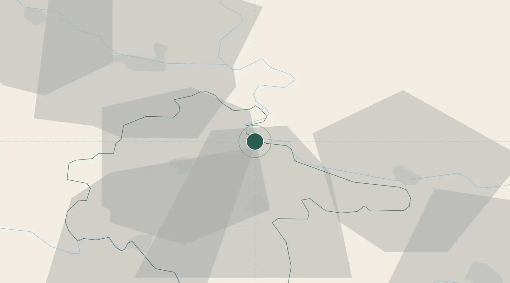
Place type
Regional capital
Region
Vukovar-Srijem
Population
22,255
Time zone
Europe/Zagreb
Elevation
80 m
Location
Nearby Logistics Neighbours
Cities
- 1Borovo3 km
- 2Borovo Selo8 km
- 3Dalj15 km
- 4Opatovac16 km
- 5Vinkovci17 km
Airports
- 1Osijek Airport19 km
- 2Pécs-Pogány International Airport92 km
- 3Tuzla International Airport101 km
- 4Batajnica Air Base109 km
- 5Belgrade Nikola Tesla Airport119 km
Trade Zones
- 1Podunavska Gospodarska Zona Vukovar1 km
- 2Apatin Free Zone37 km
- 3Osijek Free Zone43 km
- 4Novi Sad Free Zone67 km
- 5Duro Daković Free Zone80 km
DatabookThe Record of Consolidated Knowledge
Croatia beyond logistics?