Transport Functions
Rail
Road
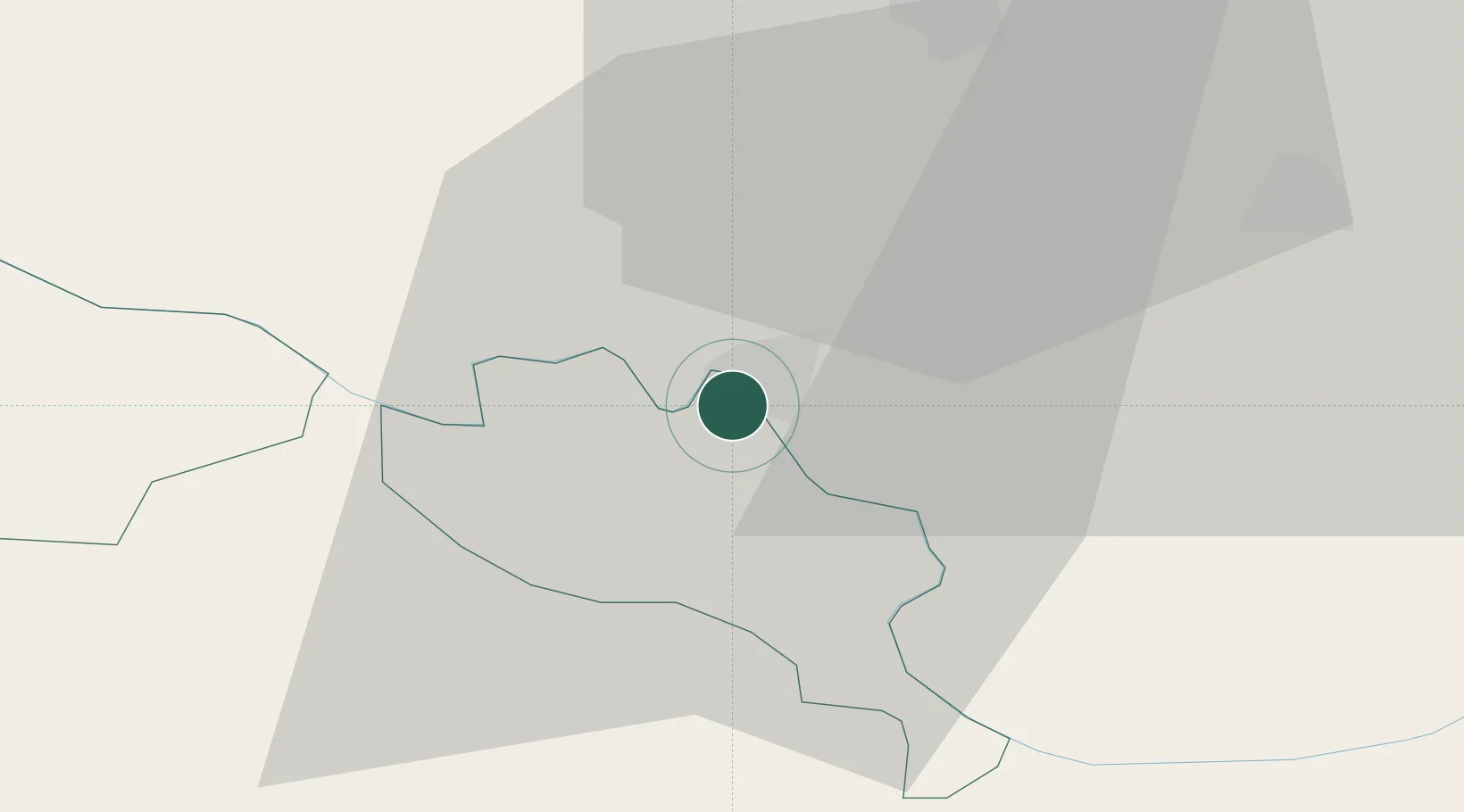
Hub Profile
Place type
Provincial seat
Region
Vukovar-Srijem
Population
9,153
Time zone
Europe/Zagreb
Elevation
81 m
Location
Nearby Logistics Neighbours
Cities
- 1Orasje4 km
- 2Domaljevac9 km
- 3Brcko24 km
- 4Velika Kopanica25 km
- 5Vinkovci26 km
Airports
- 1Osijek Airport45 km
- 2Tuzla International Airport68 km
- 3Pécs-Pogány International Airport108 km
- 4Banja Luka International Airport110 km
- 5Batajnica Air Base125 km
Trade Zones
- 1Osijek Free Zone34 km
- 2Podunavska Gospodarska Zona Vukovar39 km
- 3Duro Daković Free Zone54 km
- 4Free Zone Holc, Lukavac60 km
- 5Apatin Free Zone72 km
DatabookThe Record of Consolidated Knowledge
Croatia beyond logistics?