Transport Functions
Port
Road
Hub Profile
Place type
Provincial seat
Region
Vukovar-Srijem
Population
3,555
Time zone
Europe/Zagreb
Elevation
86 m
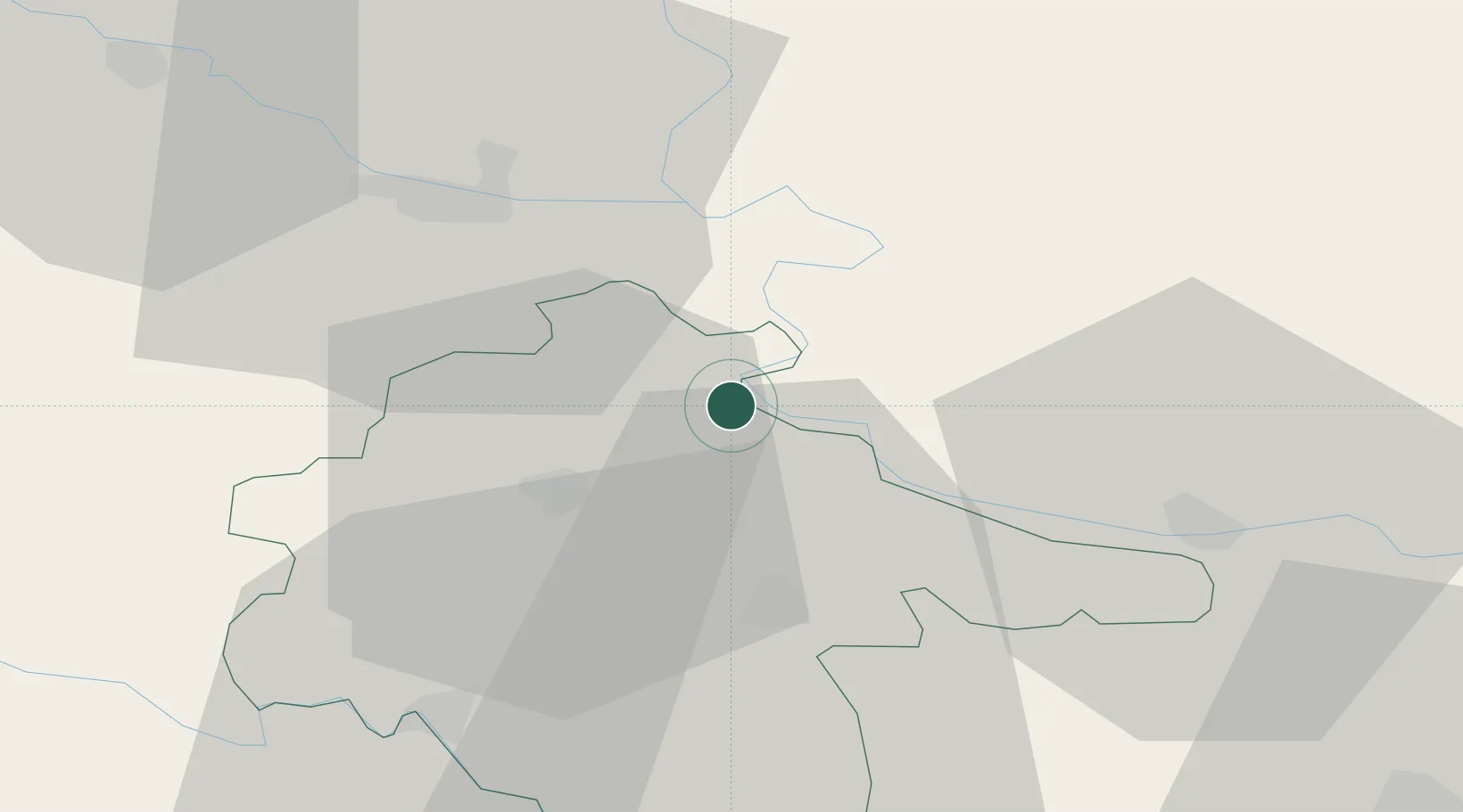
Location
Nearby Logistics Neighbours
Cities
- 1Vukovar3 km
- 2Borovo Selo6 km
- 3Dalj13 km
- 4Vinkovci16 km
- 5Aljmas19 km
Airports
- 1Osijek Airport16 km
- 2Pécs-Pogány International Airport89 km
- 3Tuzla International Airport103 km
- 4Batajnica Air Base112 km
- 5Belgrade Nikola Tesla Airport122 km
Trade Zones
- 1Podunavska Gospodarska Zona Vukovar4 km
- 2Apatin Free Zone35 km
- 3Osijek Free Zone40 km
- 4Novi Sad Free Zone70 km
- 5Duro Daković Free Zone78 km
DatabookThe Record of Consolidated Knowledge
Croatia beyond logistics?