Transport Functions
Port
Road
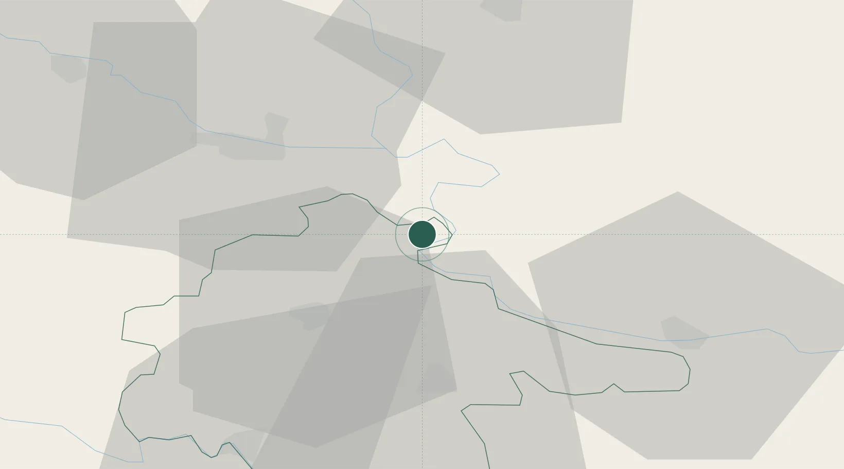
Location
Nearby Logistics Neighbours
Airports
- 1Osijek Airport14 km
- 2Pécs-Pogány International Airport86 km
- 3Tuzla International Airport108 km
- 4Batajnica Air Base113 km
- 5Belgrade Nikola Tesla Airport124 km
Trade Zones
- 1Podunavska Gospodarska Zona Vukovar8 km
- 2Apatin Free Zone29 km
- 3Osijek Free Zone43 km
- 4Novi Sad Free Zone70 km
- 5Duro Daković Free Zone81 km
DatabookThe Record of Consolidated Knowledge
Croatia beyond logistics?