Transport Functions
Port
Road
Hub Profile
Place type
Populated place
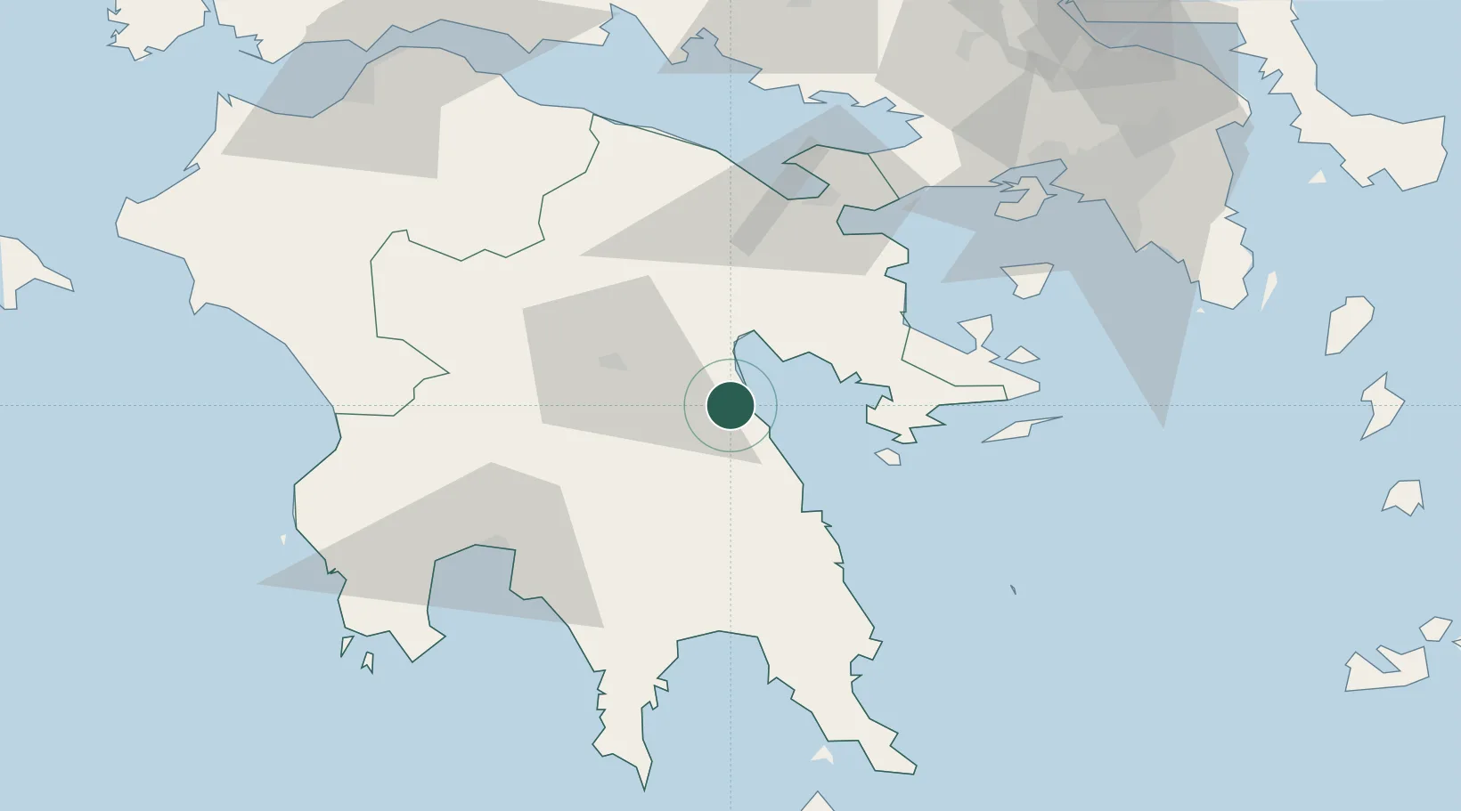
Region
Peloponnese
Population
2,222
Time zone
Europe/Athens
Elevation
43 m
Location
Nearby Logistics Neighbours
Cities
- 1Tolo Argolidos18 km
- 2Náfplion20 km
- 3Leonídion32 km
- 4Koilas Ermionidos37 km
- 5Spétsai41 km
Ports
- 1Navplio20 km
- 2Kalamata68 km
- 3Yithion74 km
- 4Megara Oil Terminal87 km
- 5Piraievs101 km
Airports
- 1Kalamata Airport71 km
- 2Elefsis Air Base104 km
- 3Athens Eleftherios Venizelos International Airport123 km
- 4Kithira Airport128 km
- 5Tanagra Air Base128 km
Trade Zones
- 1Free Zone of Piraeus100 km
- 2Free Zone of Platigiali (Astakos Etoloakarnanias)186 km
- 3Free Zone of Heraklion324 km
- 4Free Zone of Thessaloniki360 km
- 5Gjirokastër Freezone370 km
DatabookThe Record of Consolidated Knowledge
Greece beyond logistics?