Transport Functions
Port
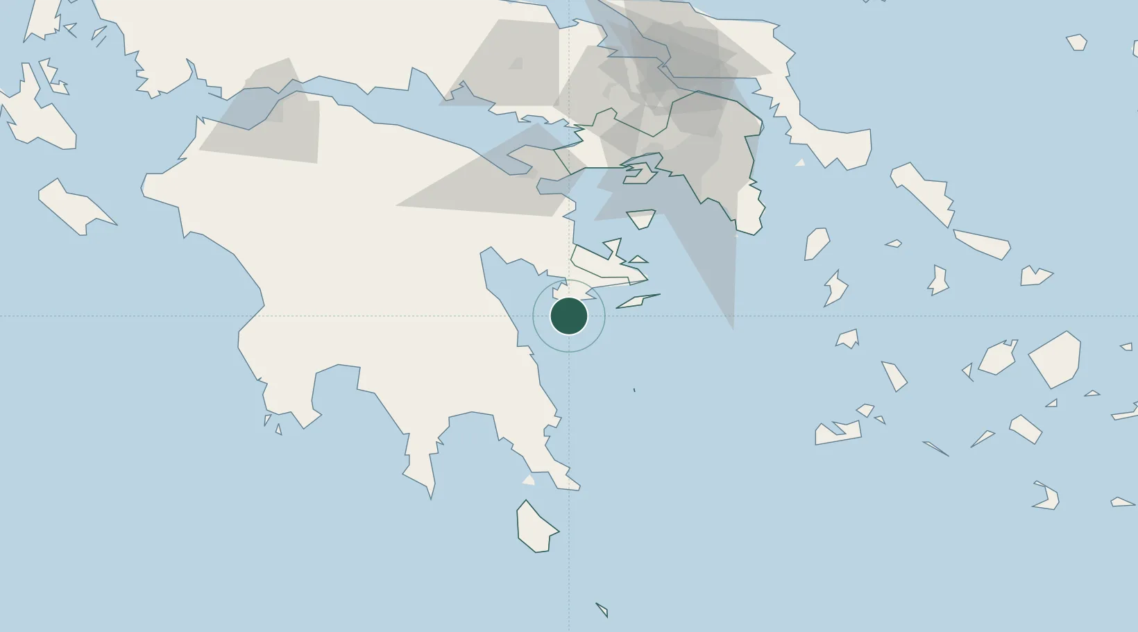
Location
Nearby Logistics Neighbours
Cities
- 1Kosta Ermionidas4 km
- 2Ermióni16 km
- 3Koilas Ermionidos17 km
- 4Leonídion26 km
- 5Hydra (Idhra)30 km
Ports
- 1Navplio46 km
- 2Yithion77 km
- 3Megara Oil Terminal81 km
- 4Piraievs86 km
- 5Lavrio94 km
Airports
- 1Elefsis Air Base96 km
- 2Kalamata Airport102 km
- 3Athens Eleftherios Venizelos International Airport102 km
- 4Kithira Airport111 km
- 5Tanagra Air Base125 km
Trade Zones
DatabookThe Record of Consolidated Knowledge
Greece beyond logistics?