Large airport · Greece
Athens Eleftherios Venizelos International AirportLGAV
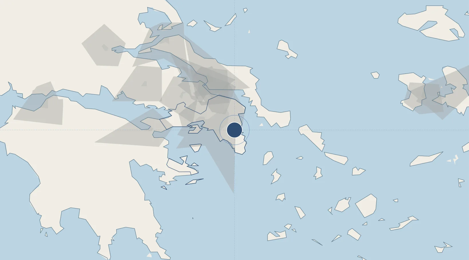
37.9364°, 23.9445°
13,123 ft
Longest runway
2
Runways
308 ft
Elevation
Runway & Layout

Radio Frequencies
ATIS
136.125 MHz
TWR
136.275 MHz
GND
121.75 MHz
CLD
118.675 MHz
CLNC DEL
APP
126.575 MHz
ATHINAI APP
DEP
128.95 MHz
ATHINAI DEP
ARR
132.975 MHz
ATHINAI ARR
DIR
121.4 MHz
ATHINAI DIR
INFO
136.025 MHz
PMSV
127.8 MHz
ATHINAI VOLMET
RDO
563.7 MHz
Navaids
SAT VOR-DME Eleftherios Venizelos 109.60 MHz
SPA VOR-DME Eleftherios Venizelos 117.50 MHz
Runways · 2
| Runway | Dimensions | Surface | True heading | Lit |
|---|---|---|---|---|
| 03R/21L | 13,123 × 148ft | Asphalt | 037° | ✓ |
| 03L/21R | 12,467 × 148ft | Asphalt | 037° | ✓ |
Airport Specifications
IATA code
ATH
ICAO code
LGAV
Airport class
Large airport
Scheduled service
Yes
Runway surface
Asphalt
Served city
Spata-Artemida
Location
Nearby Logistics Neighbours
Airports
- 1Elefsis Air Base37 km
- 2Tanagra Air Base56 km
- 3Syros Airport105 km
- 4Skiros Airport124 km
- 5Mykonos Island National Airport136 km
Cities
- 1Artemis6 km
- 2Markopoulo6 km
- 3Pikérmion7 km
- 4Glyfada19 km
- 5Vouliagméni19 km
Ports
- 1Piraievs26 km
- 2Lavrio28 km
- 3Megara Oil Terminal48 km
- 4Ormos Aliveriou51 km
- 5Gavrio70 km
Trade Zones
DatabookThe Record of Consolidated Knowledge
Greece beyond logistics?