Free Trade Zone · Albania

Gjirokastër Freezone Inactive
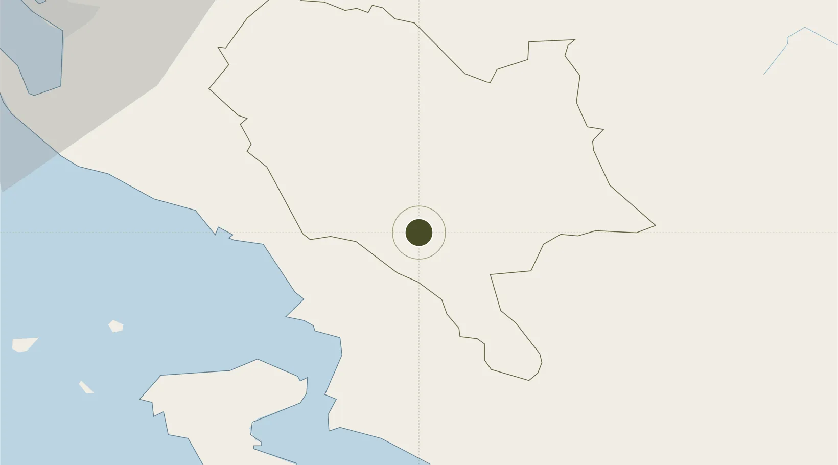
40.0674°, 20.1614°
0 ha
Zone area
53.8 km
Nearest port
56.0 km
Nearest airport

Gateway access

Nearest neighbours — logibook spatial index (haversine) over the source coordinates

Zone profile

Zone type
Free Trade Zone
Open Zone Map
Region
Gjirokastër
Open Zone Map
Status
Inactive
Open Zone Map
Management
Public-Private Partnership
Open Zone Map
Operator
Freezone Albania Sh.p.k.
Open Zone Map
Legal framework
Law No. 7764 Dated 02.11.1993, Law No. 55/2015, Law No. 9789 Dated 19.07.2007, Dcm 646: 22.07.2015, Dcm 647: 22.07.2015
Open Zone Map

Location

Location of ozm-22
Natural Earth 10m (public domain) · Gjirokastër · ozm-22 · 40.07, 20.16GoogleOSMYandex

Nearby Logistics Neighbours

Ports
  1. 1Kerkira54 km
  2. 2Vlore72 km
  3. 3Preveza134 km
  4. 4Otranto142 km
  5. 5Durres151 km
Nearest neighbours — logibook spatial index (haversine) over the source coordinates
Airports
  1. 1Corfu Ioannis Kapodistrias International Airport56 km
  2. 2Ioannina King Pyrrhus National Airport70 km
  3. 3Kuçovë Air Base81 km
  4. 4Kastoria National Airport Aristotle104 km
  5. 5Ohrid St. Paul the Apostle Airport133 km
Nearest neighbours — logibook spatial index (haversine) over the source coordinates
Cities
  1. 1Gjirokastër2 km
  2. 2Sarandë25 km
  3. 3Butrint37 km
  4. 4Kassiopis38 km
  5. 5Kassiopi Corfu38 km
Nearest neighbours — logibook spatial index (haversine) over the source coordinates
Trade Zones
  1. 1Përmet Freezone26 km
  2. 2Vlora Technical and Economic Development Area76 km
  3. 3Korçë Freezone83 km
  4. 4Fier Freezone87 km
  5. 5Pogradec Freezone101 km
Nearest neighbours — logibook spatial index (haversine) over the source coordinates
DatabookThe Record of Consolidated Knowledge
Albania beyond logistics?
Browse databook

All Sources

Trade ZonesOpen Zone Map
CC BY
Portsthe NGA World Port Index
Public domain (US gov)
AirportsOurAirports
Public domain
LocationsUN/LOCODE
UN/LOCODE — free
← Albania trade zones