Medium airport · Greece
Kalamata AirportLGKL
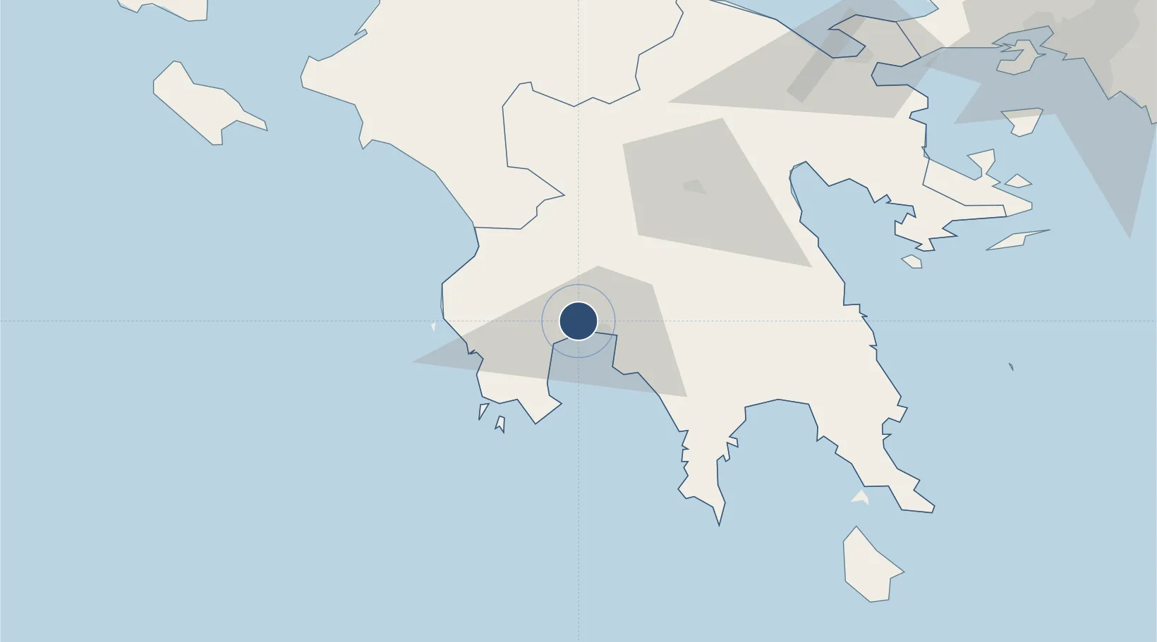
37.0683°, 22.0255°
8,868 ft
Longest runway
1
Runways
26 ft
Elevation
Runway & Layout

Radio Frequencies
TWR
120.75 MHz
APP
120.75 MHz
A/G
563.7 MHz
RDO
Navaids
KAM VOR-DME Kalamata 112.60 MHz
KLM TACAN Kalamata 115.20 MHz
KTA NDB Kalamata 348 kHz
Runways · 1
| Runway | Dimensions | Surface | True heading | Lit |
|---|---|---|---|---|
| 17R/35L | 8,868 × 148ft | Asphalt | 169° | ✓ |
Airport Specifications
IATA code
KLX
ICAO code
LGKL
Airport class
Medium airport
Scheduled service
Yes
Runway surface
Asphalt
Served city
Kalamata
Location
Nearby Logistics Neighbours
Airports
- 1Andravida Air Base115 km
- 2Kithira Airport125 km
- 3Zakynthos International Airport Dionysios Solomos126 km
- 4Patras Araxos Agamemnon Airport132 km
- 5Elefsis Air Base175 km
Cities
- 1Kalamáta9 km
- 2Pýlos36 km
- 3Kiparissia38 km
- 4Methoni39 km
- 5Xirokámbion39 km
Trade Zones
- 1Free Zone of Piraeus171 km
- 2Free Zone of Platigiali (Astakos Etoloakarnanias)177 km
- 3Free Zone of Heraklion344 km
- 4Gjirokastër Freezone371 km
- 5Përmet Freezone381 km
DatabookThe Record of Consolidated Knowledge
Greece beyond logistics?