Export Processing Zone · Greece

Free Zone of Thessaloniki Active
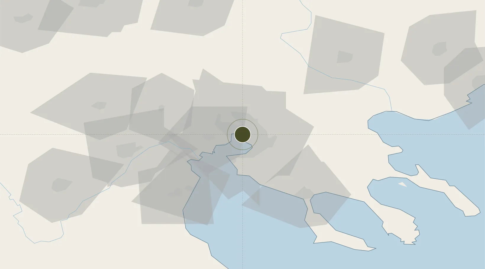
40.6356°, 22.9223°
25 ha
Zone area
1.0 km
Nearest port
13.5 km
Nearest airport

Gateway access

Nearest neighbours — logibook spatial index (haversine) over the source coordinates

Zone profile

Zone type
Export Processing Zone
Open Zone Map
Region
Kentriki Makedonia
Open Zone Map
Status
Active
Open Zone Map
Management
Public
Open Zone Map
Operator
Thessaloniki Port Authority, S.A.
Open Zone Map
Legal framework
Regulation (EU) No 952/2013 of the European Parliament and of the Council of 9 October 2013 laying down the Union Customs Code (recast)
Open Zone Map

Location

Location of ozm-2054
Natural Earth 10m (public domain) · Kentriki Makedonia · ozm-2054 · 40.64, 22.92GoogleOSMYandex

Nearby Logistics Neighbours

Ports
  1. 1Thessaloniki1 km
  2. 2Yerakini62 km
  3. 3Stratoni78 km
  4. 4Kavala129 km
  5. 5Volos141 km
Nearest neighbours — logibook spatial index (haversine) over the source coordinates
Airports
  1. 1Thessaloniki Macedonia International Airport14 km
  2. 2Kozani National Airport Filippos99 km
  3. 3Kastoria National Airport Aristotle140 km
  4. 4Kavala Alexander the Great International Airport146 km
  5. 5Nea Anchialos National Airport158 km
Nearest neighbours — logibook spatial index (haversine) over the source coordinates
Cities
  1. 1Thessaloníki2 km
  2. 2Évosmon4 km
  3. 3Kalamaria8 km
  4. 4Oreokastro9 km
  5. 5Neokhoroúdha11 km
Nearest neighbours — logibook spatial index (haversine) over the source coordinates
Trade Zones
  1. 1TIDZ Gevgelija72 km
  2. 2TIDZ Strumica86 km
  3. 3TIDZ Radoviš117 km
  4. 4TIDZ Berovo119 km
  5. 5TIDZ Prilep140 km
Nearest neighbours — logibook spatial index (haversine) over the source coordinates
DatabookThe Record of Consolidated Knowledge
Greece beyond logistics?
Browse databook

All Sources

Trade ZonesOpen Zone Map
CC BY
Portsthe NGA World Port Index
Public domain (US gov)
AirportsOurAirports
Public domain
LocationsUN/LOCODE
UN/LOCODE — free
← Greece trade zones