UN/LOCODE hub · Greece
GRLND

Leonídion

37.1500°, 22.9000°
1
Transport functions

Transport Functions

Port
UN/LOCODE

Location

Location of GRLND
Natural Earth 10m (public domain) · Peloponnisos · GRLND · 37.15, 22.90GoogleOSMYandex

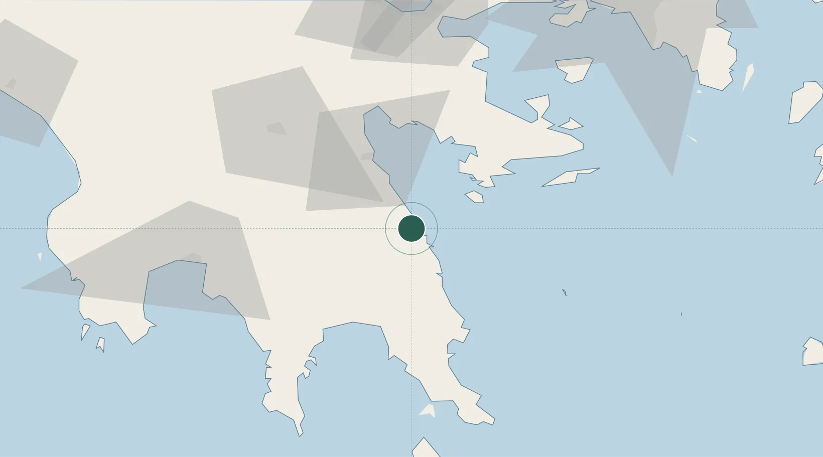
Nearby Logistics Neighbours

Cities
  1. 1Spétsai26 km
  2. 2Kosta Ermionidas29 km
  3. 3Ástros32 km
  4. 4Koilas Ermionidos36 km
  5. 5Ermióni40 km
Nearest neighbours — logibook spatial index (haversine) over the source coordinates
Ports
  1. 1Navplio47 km
  2. 2Yithion53 km
  3. 3Kalamata71 km
  4. 4Megara Oil Terminal101 km
  5. 5Piraievs109 km
Nearest neighbours — logibook spatial index (haversine) over the source coordinates
Airports
  1. 1Kalamata Airport78 km
  2. 2Kithira Airport98 km
  3. 3Elefsis Air Base117 km
  4. 4Athens Eleftherios Venizelos International Airport127 km
  5. 5Tanagra Air Base145 km
Nearest neighbours — logibook spatial index (haversine) over the source coordinates
Trade Zones
  1. 1Free Zone of Piraeus109 km
  2. 2Free Zone of Platigiali (Astakos Etoloakarnanias)216 km
  3. 3Free Zone of Heraklion292 km
  4. 4Free Zone of Thessaloniki388 km
  5. 5Izmir Free Zone390 km
Nearest neighbours — logibook spatial index (haversine) over the source coordinates
DatabookThe Record of Consolidated Knowledge
Greece beyond logistics?
Browse databook

All Sources

LocationsUN/LOCODE
UN/LOCODE — free
Portsthe NGA World Port Index
Public domain (US gov)
AirportsOurAirports
Public domain
Trade Zonesthe World Bank SEZ database
CC BY 4.0
Trade ZonesOpen Zone Map
CC BY
← Greece locations