UN/LOCODE hub · Greece
GRKIN

Koilas Ermionidos

37.4167°, 23.1333°
1
Transport functions

Transport Functions

Port
UN/LOCODE

Hub Profile

Region
11
GeoNames

Location

Location of GRKIN
Natural Earth 10m (public domain) · 11 · GRKIN · 37.42, 23.13GoogleOSMYandex

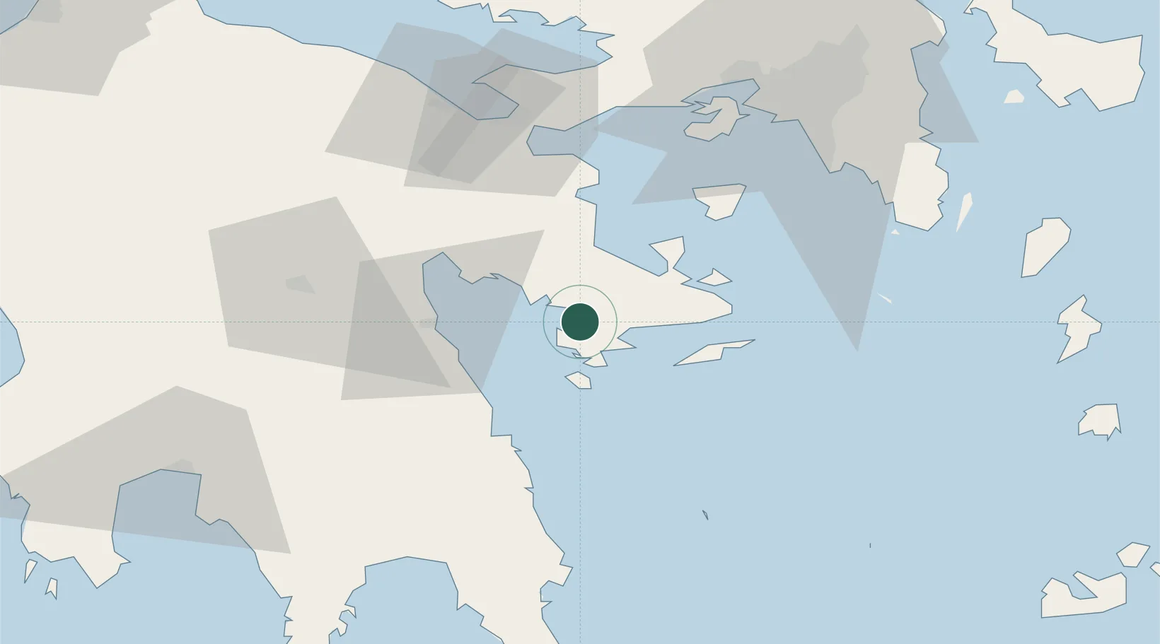
Nearby Logistics Neighbours

Cities
  1. 1Ermióni11 km
  2. 2Kosta Ermionidas13 km
  3. 3Spétsai17 km
  4. 4Epidavros24 km
  5. 5Palaiá Epídavros24 km
Nearest neighbours — logibook spatial index (haversine) over the source coordinates
Ports
  1. 1Navplio34 km
  2. 2Megara Oil Terminal66 km
  3. 3Piraievs73 km
  4. 4Lavrio88 km
  5. 5Yithion90 km
Nearest neighbours — logibook spatial index (haversine) over the source coordinates
Airports
  1. 1Elefsis Air Base81 km
  2. 2Athens Eleftherios Venizelos International Airport92 km
  3. 3Kalamata Airport105 km
  4. 4Tanagra Air Base109 km
  5. 5Kithira Airport128 km
Nearest neighbours — logibook spatial index (haversine) over the source coordinates
Trade Zones
  1. 1Free Zone of Piraeus72 km
  2. 2Free Zone of Platigiali (Astakos Etoloakarnanias)214 km
  3. 3Free Zone of Heraklion302 km
  4. 4Izmir Free Zone358 km
  5. 5Free Zone of Thessaloniki358 km
Nearest neighbours — logibook spatial index (haversine) over the source coordinates
DatabookThe Record of Consolidated Knowledge
Greece beyond logistics?
Browse databook

All Sources

LocationsUN/LOCODE
UN/LOCODE — free
Portsthe NGA World Port Index
Public domain (US gov)
AirportsOurAirports
Public domain
Trade Zonesthe World Bank SEZ database
CC BY 4.0
Trade ZonesOpen Zone Map
CC BY
← Greece locations