Small airport · Greece
Kithira AirportLGKC
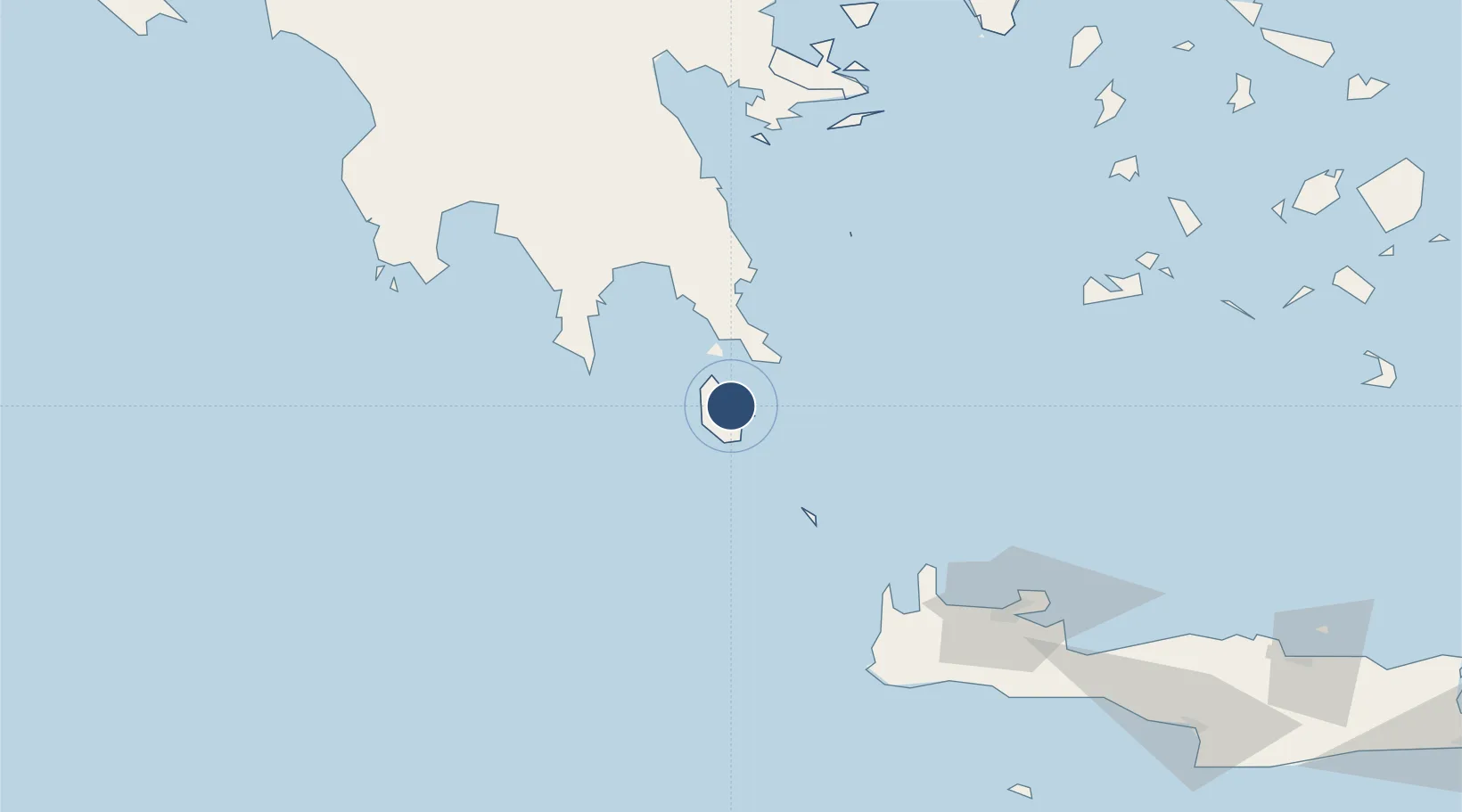
36.2740°, 23.0167°
4,794 ft
Longest runway
1
Runways
1,045 ft
Elevation
Runway & Layout

Radio Frequencies
A/G
563.7 MHz
RDO
AFIS
123.25 MHz
Navaids
KIT NDB Kithira 372 kHz
KTR TACAN Kithira 109.40 MHz
Runways · 1
| Runway | Dimensions | Surface | True heading | Lit |
|---|---|---|---|---|
| 02/20 | 4,794 × 98ft | Asphalt | 026° | ✓ |
Airport Specifications
IATA code
KIT
ICAO code
LGKC
Airport class
Small airport
Scheduled service
Yes
Runway surface
Asphalt
Served city
Kithira Island
Location
Nearby Logistics Neighbours
Airports
- 1Kalamata Airport125 km
- 2Chania International Airport131 km
- 3Milos Airport139 km
- 4Athens Eleftherios Venizelos International Airport202 km
- 5Paros National Airport205 km
Cities
- 1Diakofti Kythiron6 km
- 2Agía Pelagía7 km
- 3Rízes8 km
- 4Kapsalion (Kythira)14 km
- 5Vatika Bay25 km
Trade Zones
DatabookThe Record of Consolidated Knowledge
Greece beyond logistics?