Medium airport · Greece

Tanagra Air BaseLGTG
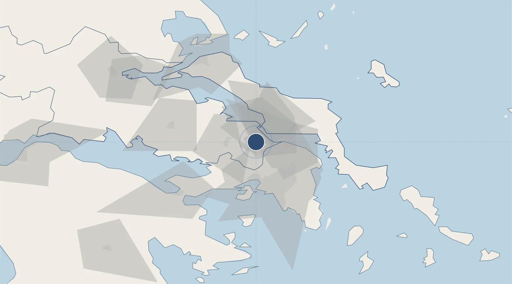
38.3398°, 23.5650°
9,810 ft
Longest runway
1
Runways
495 ft
Elevation

Runway & Layout

Tanagra Air Base runway & taxiway layout
Runway & taxiway layout — OpenStreetMap (ODbL) / OurAirports

Radio Frequencies

TWR
120.25 MHz
APP
120.25 MHz
OurAirports

Navaids

TGG VOR-DME Tanagra 111.80 MHz
TGR TACAN Tanagra 108.40 MHz
TNG NDB Tanagra 303 kHz
OurAirports

Runways · 1

RunwayDimensions SurfaceTrue headingLit
10/28 9,810 × 148ft Asphalt 105°
OurAirports

Airport Specifications

ICAO code
LGTG
OurAirports
Airport class
Medium airport
OurAirports
Scheduled service
No
OurAirports
Runway surface
Asphalt
OurAirports
Served city
Tanagra
OurAirports

Location

Location of LGTG
Natural Earth 10m (public domain) · Stereá Elláda · LGTG · 38.34, 23.57GoogleOSMYandex

Nearby Logistics Neighbours

Airports
  1. 1Elefsis Air Base31 km
  2. 2Athens Eleftherios Venizelos International Airport56 km
  3. 3Skiathos Island National Airport93 km
  4. 4Skiros Airport106 km
  5. 5Nea Anchialos National Airport119 km
Nearest neighbours — logibook spatial index (haversine) over the source coordinates
Cities
  1. 1Schimatarion3 km
  2. 2Oinófita5 km
  3. 3Avlida7 km
  4. 4Vathi7 km
  5. 5Lefkandi13 km
Nearest neighbours — logibook spatial index (haversine) over the source coordinates
Ports
  1. 1Ormos Aliveriou43 km
  2. 2Megara Oil Terminal44 km
  3. 3Piraievs46 km
  4. 4Kymassi56 km
  5. 5Lavrio84 km
Nearest neighbours — logibook spatial index (haversine) over the source coordinates
Trade Zones
  1. 1Free Zone of Piraeus44 km
  2. 2Free Zone of Platigiali (Astakos Etoloakarnanias)215 km
  3. 3Free Zone of Thessaloniki261 km
  4. 4TIDZ Gevgelija331 km
  5. 5TIDZ Strumica347 km
Nearest neighbours — logibook spatial index (haversine) over the source coordinates
DatabookThe Record of Consolidated Knowledge
Greece beyond logistics?
Browse databook

All Sources

AirportsOurAirports
Public domain
Portsthe NGA World Port Index
Public domain (US gov)
LocationsUN/LOCODE
UN/LOCODE — free
Trade Zonesthe World Bank SEZ database
CC BY 4.0
Trade ZonesOpen Zone Map
CC BY
InfrastructureOpenStreetMap
ODbL 1.0
← Greece airports